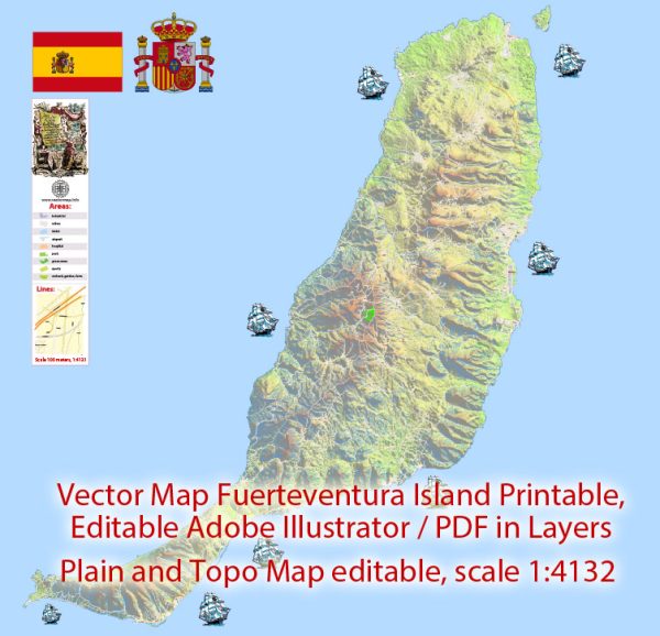
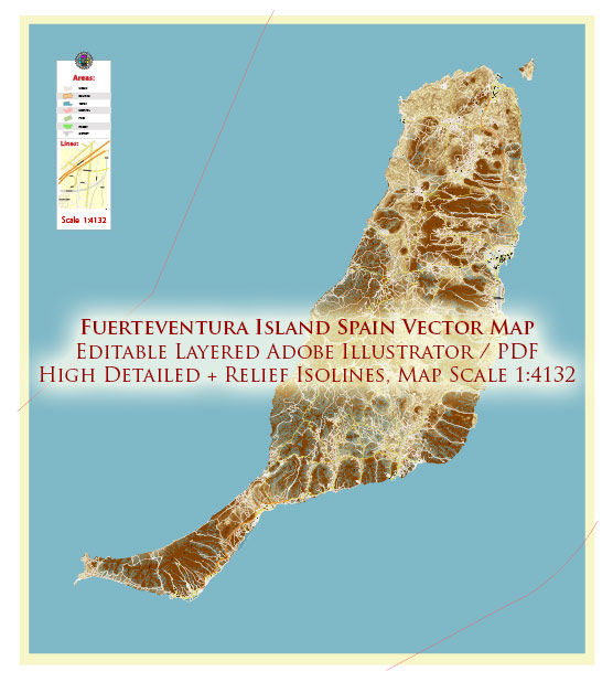
Fuerteventura, one of the Canary Islands of Spain, is home to several national parks and protected natural areas that showcase the island’s stunning landscapes and biodiversity. Here are descriptions of some of the national parks and natural reserves on Fuerteventura:
- Parque Natural de Corralejo: Located in the northern part of the island, this natural park is famous for its extensive sand dunes and pristine beaches. The dunes in Corralejo are some of the largest in the Canary Islands and are a protected area to preserve the unique flora and fauna that inhabit them. Visitors can enjoy walking, sunbathing, and swimming in the clear waters while appreciating the beauty of the desert-like landscape.
- Parque Natural de Jandía: Situated in the southwestern part of the island, the Jandía Natural Park covers a significant portion of the Jandía Peninsula. This park features a variety of ecosystems, including arid desert landscapes, mountains, and coastal areas. Hiking and birdwatching are popular activities here, and the park provides a natural habitat for various bird species, including the Houbara Bustard.
- Parque Rural de Betancuria: Located in the heart of Fuerteventura, this rural park encompasses the Betancuria Massif, offering a striking contrast to the island’s desert landscapes. The park is known for its lush valleys, deep gorges, and unique flora and fauna. Visitors can explore picturesque villages, learn about the island’s history and culture, and enjoy hiking trails through the stunning landscapes.
- Parque Natural de Isla de Lobos: Although not technically part of Fuerteventura but a small island situated just off its northern coast, Isla de Lobos is a protected natural area. The island is uninhabited and offers pristine beaches, clear waters, and fantastic opportunities for snorkeling, swimming, and hiking. It is a haven for birdwatchers and nature enthusiasts.
- Parque Natural de las Dunas de Corralejo: This natural park, located to the south of Corralejo, features a diverse landscape that includes extensive sand dunes, volcanic formations, and pristine beaches. It is known for its unique flora and fauna, making it a great place for nature lovers. You can explore the dunes, observe wildlife, and enjoy the natural beauty of this protected area.
These national parks and natural reserves on Fuerteventura provide opportunities for outdoor activities, wildlife observation, and a chance to experience the island’s diverse landscapes, from sandy dunes to lush valleys. Visitors can also learn about the unique ecosystems and rich biodiversity that make Fuerteventura a remarkable destination for nature enthusiasts.


 Author: Kirill Shrayber, Ph.D. FRGS