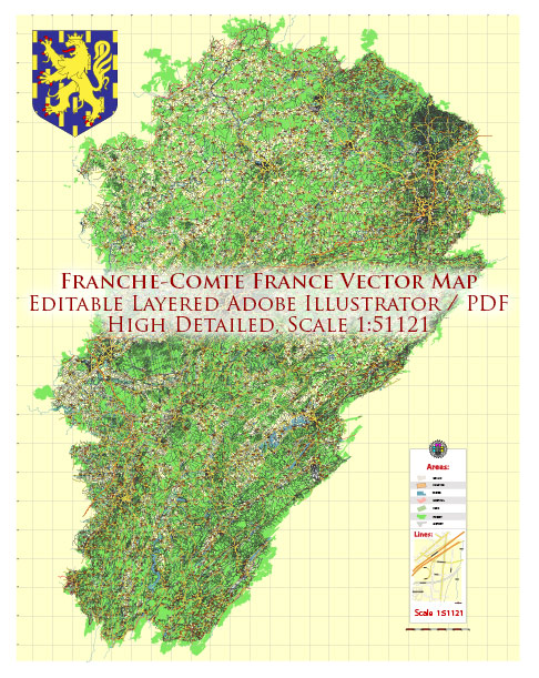
The Franche-Comté region in eastern France is known for its stunning natural beauty, including several national parks and protected areas. Here are some of the notable national parks and natural areas in Franche-Comté:
- Parc Naturel Régional du Haut-Jura (High Jura Regional Nature Park): This regional nature park spans across the Jura Mountains, which are known for their pristine forests, meadows, and lakes. The park is home to a diverse range of flora and fauna, making it a haven for nature lovers and outdoor enthusiasts. Visitors can enjoy activities such as hiking, cross-country skiing, and observing wildlife.
- Parc Naturel Régional du Morvan (Morvan Regional Nature Park): While the majority of the Morvan Regional Nature Park is located in the neighboring region of Bourgogne-Franche-Comté, it extends into Franche-Comté as well. This park is characterized by its rolling hills, forests, and numerous lakes. It’s a popular destination for hiking, cycling, and water-based activities.
- Parc National des Écrins (Écrins National Park): Although the core of Écrins National Park is situated in the French Alps, a small part of it extends into Franche-Comté. The park is known for its dramatic alpine landscapes, glaciers, and high mountain peaks. It offers numerous hiking and mountaineering opportunities.
- Réserve Naturelle du Saut du Doubs (Saut du Doubs Nature Reserve): This nature reserve is located on the border between Franche-Comté and Switzerland. It’s famous for the Saut du Doubs waterfall, which is a stunning natural attraction. The area is also known for its wetlands and the diverse bird species that inhabit the region.
- Réserve Naturelle Nationale de la Haute Chaîne du Jura (High Jura Mountain National Nature Reserve): This national nature reserve is dedicated to preserving the natural heritage of the Jura Mountains. It is home to unique flora and fauna, as well as important geological features. Hiking and nature observation are popular activities here.
These parks and natural areas in Franche-Comté provide a wide range of outdoor activities and opportunities for nature exploration. Whether you’re interested in hiking, wildlife watching, or simply enjoying the serene landscapes, the region offers a variety of options for nature enthusiasts. Make sure to check for any updates or changes in access and regulations if you plan to visit these areas, as circumstances may have evolved since my last update.


 Author: Kirill Shrayber, Ph.D. FRGS