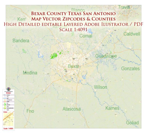
Bexar County, which includes San Antonio, Texas, offers a variety of nature parks and outdoor recreational areas for residents and visitors to enjoy. Here are some descriptions of a few popular nature parks in the area:
- Government Canyon State Natural Area: Located on the northwestern outskirts of San Antonio, Government Canyon is one of the largest and most diverse natural areas in the area. It offers over 40 miles of hiking and biking trails, including the famous Backcountry Trail, which provides a rugged and scenic experience. The park features a variety of plant and animal species, including the endangered golden-cheeked warbler. Visitors can explore canyons, grasslands, and even dinosaur tracks.
- Eisenhower Park: This urban park is situated in northwest San Antonio and offers a more relaxed and family-friendly outdoor experience. The park features a playground, picnic areas, and a network of walking and hiking trails, making it a great place for a leisurely stroll or a family outing. The views of downtown San Antonio from certain points in the park are quite scenic.
- McAllister Park: Located in the northeast part of the city, McAllister Park is one of San Antonio’s largest municipal parks. It offers a variety of outdoor activities, including hiking, mountain biking, and picnicking. The park also features a dog park and several sports facilities, making it a popular destination for both nature lovers and active individuals.
- Phil Hardberger Park: This park is located in two separate sections, the Urban Ecology Center and the Wurzbach Parkway, providing diverse recreational opportunities. The Urban Ecology Center features educational programs and a network of walking and biking trails. The Wurzbach Parkway section includes playgrounds, picnic areas, and more trails. Both sections offer a green oasis within the city.
- Huebner Oaks Park: This neighborhood park in north-central San Antonio is a peaceful escape from the urban hustle and bustle. It offers walking trails, picnic areas, and open spaces for outdoor relaxation. The park is known for its tranquility and provides an opportunity to connect with nature without venturing too far from the city.
These are just a few of the nature parks and outdoor spaces available in Bexar County and San Antonio, Texas. Each park offers a unique natural experience, from rugged canyons to serene urban oases, making it easy for residents and visitors to enjoy the beauty of the area’s natural landscapes.


 Author: Kirill Shrayber, Ph.D. FRGS