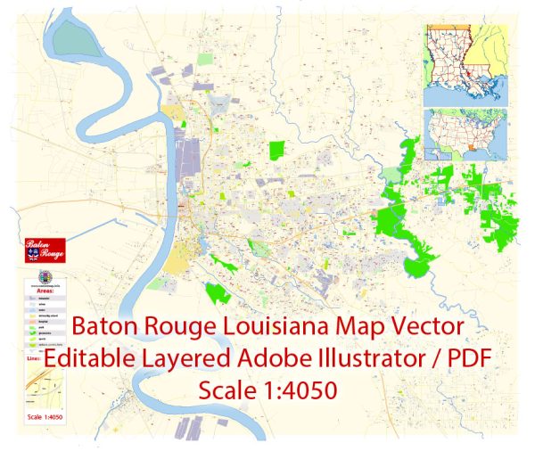
Baton Rouge, Louisiana, is the capital city of the state and is located in the southeastern region of the United States. It is known for its unique ecological features, which are heavily influenced by its location along the Mississippi River and the Gulf of Mexico. Here is an ecological description of Baton Rouge:
- Climate: Baton Rouge experiences a humid subtropical climate. Summers are hot and humid, with temperatures often exceeding 90°F (32°C), and frequent afternoon thunderstorms. Winters are mild, with temperatures rarely dropping below freezing. The area is prone to hurricanes and tropical storms during the Atlantic hurricane season, which can bring heavy rainfall and strong winds.
- Mississippi River: The city is situated along the Mississippi River, which plays a vital role in its ecology. The river provides fertile alluvial soils for agriculture, supporting the growth of crops such as cotton, soybeans, and sugarcane. Additionally, the river is home to diverse aquatic life, including various fish species.
- Wetlands: Baton Rouge and the surrounding region are characterized by extensive wetlands, including swamps, marshes, and bayous. The Atchafalaya Basin, one of the nation’s largest river swamp areas, is not far from Baton Rouge. These wetlands are ecologically significant, providing habitat for numerous species of wildlife, including alligators, waterfowl, and a variety of fish.
- Flora: Baton Rouge is part of the larger Gulf Coastal Plain region, and its plant life reflects this. You can find a wide variety of trees and plants, including oak, pine, cypress, magnolia, and a range of marsh grasses. The city’s green spaces and parks are often adorned with these native plant species.
- Fauna: The ecological diversity of Baton Rouge supports a rich array of wildlife. In addition to the alligators and waterfowl mentioned earlier, the region is also home to various bird species, deer, raccoons, and other small mammals. The waterways and wetlands offer opportunities for fishing and birdwatching.
- Urban Development: Baton Rouge is a growing urban area, and like many cities, it faces challenges related to urbanization and land use. Balancing development with conservation efforts is essential to protect the city’s natural resources.
- Conservation Efforts: The state of Louisiana and various local organizations actively work on conserving the natural environment in and around Baton Rouge. Initiatives focus on protecting wetlands, preserving native habitats, and promoting sustainability in the face of challenges like coastal erosion and sea-level rise.
The ecological landscape of Baton Rouge is shaped by its unique geographic location, with the Mississippi River and the Gulf of Mexico playing pivotal roles in the region’s natural environment. Efforts to balance urban development with conservation are essential to maintaining the city’s ecological diversity.


 Author: Kirill Shrayber, Ph.D. FRGS