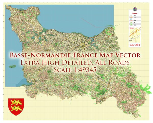
Basse-Normandie (Lower Normandy) was a region in northwestern France. It has since been merged into the larger region of Normandy. However, I can provide information about the national parks and natural attractions that were located in the Basse-Normandie region at that time.
- Parc Naturel Régional des Marais du Cotentin et du Bessin:
- This regional natural park was located in the western part of Basse-Normandie. It was known for its diverse landscapes, including wetlands, marshes, and coastal areas.
- The park provided a habitat for various bird species and was a popular destination for birdwatching and wildlife enthusiasts.
- Visitors could explore hiking and cycling trails that wind through the park, offering beautiful views of the countryside and the coastline.
- Parc Naturel Régional du Perche:
- While the majority of this regional natural park was in the neighboring region of Normandy, it extended into the southern part of Basse-Normandie.
- The Perche Regional Natural Park was known for its picturesque villages, rolling hills, and lush green landscapes.
- Visitors could explore charming towns, historical sites, and enjoy outdoor activities like hiking, horseback riding, and cycling.
- Cotentin Peninsula:
- The Cotentin Peninsula in Basse-Normandie was renowned for its rugged coastline, sandy beaches, and unique natural features.
- The peninsula offered opportunities for water sports, including windsurfing and sailing, along with exploring historic sites like the D-Day landing beaches and the Mont Saint-Michel, which is located on the border between Normandy and Basse-Normandie.
Please note that the regional administrative divisions of France have changed, and some of these areas might now be part of the larger Normandy region.


 Author: Kirill Shrayber, Ph.D. FRGS