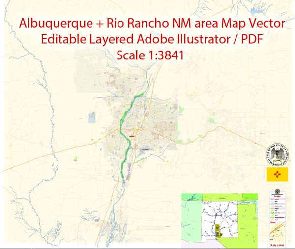
Albuquerque and Rio Rancho are two neighboring cities in New Mexico, each with its own network of principal streets and roads. Here’s a brief description of some of the major streets in both cities:
Albuquerque:
- Central Avenue (Historic Route 66): Central Avenue runs east to west and is one of the most iconic streets in Albuquerque. It’s known for its historic significance and is home to various shops, restaurants, and cultural landmarks.
- I-25 (Pan American Freeway): Interstate 25 runs north to south through Albuquerque, connecting the city to Santa Fe to the north and Las Cruces to the south.
- I-40 (Coronado Freeway): Interstate 40 crosses Albuquerque, providing an east-west route across the city and connecting it to destinations like Arizona and Oklahoma.
- Paseo del Norte: Paseo del Norte is a major east-west arterial road in the city, providing access to various neighborhoods and commercial areas.
- Coors Boulevard: Coors Boulevard is a significant north-south road that spans across the city, offering access to retail centers and residential neighborhoods.
Rio Rancho:
- Southern Boulevard: Southern Boulevard is one of the principal streets in Rio Rancho, running north to south and providing access to various neighborhoods, schools, and shopping centers.
- Unser Boulevard: Unser Boulevard is another major north-south road in Rio Rancho. It serves as a primary route for commuting within the city.
- Northern Boulevard: Northern Boulevard is an east-west arterial road in Rio Rancho, offering access to the northern and western parts of the city.
- Highway 528: Also known as Rio Rancho Boulevard, this road runs north to south and connects Rio Rancho to neighboring areas and businesses.
- US-550: This highway passes through Rio Rancho and provides access to areas north of the city, including Bernalillo and the Jemez Mountains.
Both Albuquerque and Rio Rancho have a grid-style layout, which makes navigation relatively straightforward. However, the street network in Albuquerque is more extensive due to its larger size and population. These principal streets, along with various smaller roads, provide the infrastructure for commuting, shopping, and accessing the many attractions and services in the region. Please note that street names and development may change over time, so it’s a good idea to consult a current map or GPS for the most up-to-date information.


 Author: Kirill Shrayber, Ph.D. FRGS