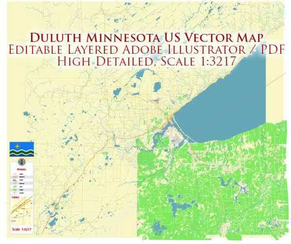
Duluth, Minnesota, is a city located on the shores of Lake Superior in the northeastern part of the state. It features a grid-based street system that is organized into avenues and streets, with a few key thoroughfares and landmarks. Here are some of the principal streets and a brief description of each:
- Superior Street: Superior Street is the main downtown thoroughfare in Duluth. It runs parallel to the lakefront and is lined with shops, restaurants, and businesses. This historic street offers scenic views of Lake Superior and is often bustling with activity.
- London Road (Minnesota Highway 61): London Road is a major east-west arterial road in Duluth. It connects the eastern and western parts of the city and offers stunning views of Lake Superior. This road is known for its scenic beauty and access to recreational areas.
- Skyline Parkway: Skyline Parkway is a scenic drive that winds along the hillside overlooking Duluth and Lake Superior. It offers panoramic views of the city and the lake. It’s a popular route for sightseeing and photography.
- East Superior Street: East Superior Street runs along the lakefront to the east of downtown Duluth. It’s a continuation of Superior Street and features a mix of businesses, parks, and lakefront properties.
- Central Entrance (U.S. Highway 53): Central Entrance is a major north-south road that extends from the southern part of Duluth to the northern neighborhoods. It connects to Interstate 35 and serves as a key transportation route in the city.
- Grand Avenue: Grand Avenue is an important east-west street that passes through the western part of Duluth. It’s home to various businesses, residential areas, and provides access to the neighborhoods of West Duluth.
- Arrowhead Road: Arrowhead Road is another significant east-west route that serves the eastern part of Duluth. It connects various neighborhoods and commercial areas and extends towards the Miller Hill Mall area.
- 40th Avenue West: This avenue, along with other numbered avenues, serves the western part of Duluth, offering access to residential neighborhoods and local businesses.
- Woodland Avenue: Woodland Avenue is a major road in the eastern part of Duluth and provides access to the Woodland neighborhood, which includes residential areas and some businesses.
- Rice Lake Road: Rice Lake Road extends to the north and serves the northern parts of the city, including the neighborhood of Lakeside.
These are just a few of the principal streets in Duluth, but the city has a comprehensive grid system with many more avenues and streets, making it relatively easy to navigate. Duluth’s unique topography, with its hills and proximity to Lake Superior, also means that many streets offer scenic views of the lake and surrounding natural beauty.


 Author: Kirill Shrayber, Ph.D.