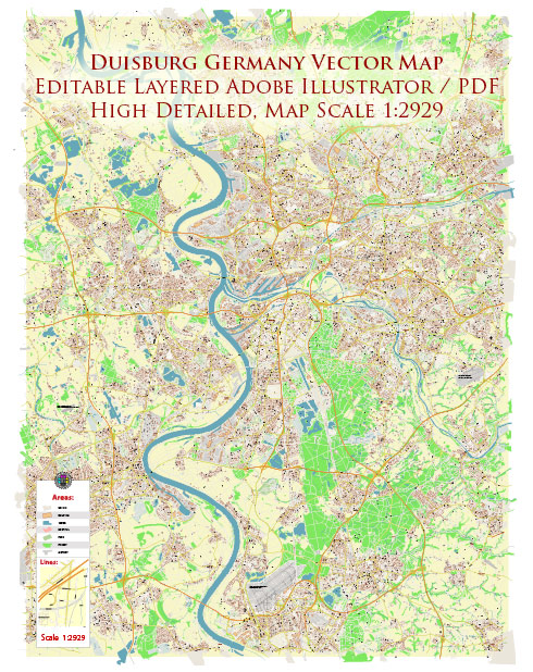
Duisburg, located in the North Rhine-Westphalia region of Germany, has a well-developed and efficient transport system that allows residents and visitors to easily navigate the city and connect to other parts of the country and Europe. Here’s a description of Duisburg’s transport system:
- Public Transportation:
- Trams: Duisburg has an extensive tram network that covers the city and its suburbs. Trams are a popular mode of transportation for daily commuting and are operated by DVG (Duisburger Verkehrsgesellschaft).
- Buses: In addition to trams, the city has an extensive bus network. Buses complement the tram system and provide coverage to areas that trams do not reach. DVG operates both trams and buses in Duisburg.
- Rail Transportation:
- Main Train Station: Duisburg Hauptbahnhof is a major railway hub in the region and one of the busiest train stations in Germany. It connects Duisburg to other major German cities and European destinations.
- Regional Trains: Regional trains provide connections to nearby cities within the North Rhine-Westphalia region, such as Düsseldorf, Essen, and Cologne.
- High-Speed Rail: Duisburg is also a key stop on the high-speed rail network, allowing travelers to reach distant cities like Berlin, Frankfurt, and Amsterdam quickly.
- Road Transportation:
- Autobahns: Duisburg is well-connected to the German autobahn network, particularly the A3 and A59. These highways facilitate road travel to various parts of Germany and Europe.
- Local Roads: The city is well-maintained with a network of local roads and streets, making it easy to navigate within the city itself.
- Port: Duisburg is home to one of the largest inland ports in Europe, the Duisburg Inner Harbor. This port connects to the Rhine River, making it a crucial hub for freight transport, with direct access to the international waterway network.
- Cycling: Duisburg is bicycle-friendly, with bike lanes and paths throughout the city. Cycling is a popular mode of transportation for short trips, and the city promotes bike-sharing programs.
- Airports:
- The closest major international airport to Duisburg is Düsseldorf Airport, located approximately 20 kilometers to the south. This airport offers a wide range of domestic and international flights.
- Taxis and Ride-Sharing: Taxis and ride-sharing services, such as Uber, are available in Duisburg, providing an additional means of transportation within the city.
- Walking: Many parts of Duisburg are pedestrian-friendly, especially in the city center. Walking is a convenient way to explore the city’s historic areas and enjoy its green spaces.
Duisburg’s well-integrated and diverse transport system makes it easy for residents and tourists to travel both within the city and to neighboring regions and countries. Whether you’re looking to commute, explore the city, or embark on longer journeys, Duisburg offers a range of transportation options to meet your needs.


 Author: Kirill Shrayber, Ph.D.