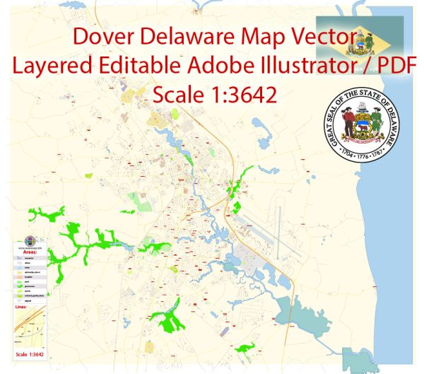
Dover, Delaware, is the capital city of the state and has a well-laid-out street grid. Here are some of the principal streets in Dover, Delaware, along with a brief description of each:
- North and South State Street: These are the main north-south thoroughfares through the heart of Dover. State Street is lined with historic buildings and government offices, giving it a traditional small-town feel. South State Street leads to The Green, a historic park at the center of the city.
- East and West Loockerman Street: These are the primary east-west streets in downtown Dover. They are known for their shopping, dining, and entertainment options. The First State Heritage Park Visitor Center is located on East Loockerman Street.
- The Green: This is a historic and picturesque park located in the center of Dover. It is surrounded by North State Street, South State Street, and West Loockerman Street. The Green is often the site of various events, and its central location makes it a focal point of the city.
- Governor’s Avenue: This street runs parallel to State Street and is known for its residential neighborhoods and access to various government buildings, including Legislative Hall, which is the Delaware State Capitol.
- Dover Mall: Located on North DuPont Highway (U.S. Route 13), Dover Mall is a major shopping center in the area, featuring numerous stores and restaurants.
- Scarborough Road: This road provides access to several residential neighborhoods and connects to various parts of the city, including U.S. Route 13 and U.S. Route 113.
- U.S. Route 13 (North and South DuPont Highway): U.S. Route 13 is a major north-south highway running through Dover. It provides access to various businesses, shopping centers, and restaurants in the city.
- U.S. Route 113: This highway runs east-west through Dover and provides access to neighboring towns and cities.
- Silver Lake Park: Silver Lake is a beautiful park and lake located near the intersection of South State Street and Bay Road. It’s a popular spot for recreational activities and picnics.
- Bay Road (DE Route 1): Bay Road is an important north-south route on the east side of Dover. It provides access to residential areas, shopping centers, and various businesses.
- Saulsbury Road: Saulsbury Road is a significant east-west route in the northern part of Dover, connecting to U.S. Route 13 and other parts of the city.
These are some of the principal streets in Dover, Delaware, but the city has many more streets and avenues that make up its urban fabric. Dover is a relatively small city with a historic downtown area, government buildings, residential neighborhoods, and commercial areas. The layout of the streets makes it easy to navigate and explore the city’s various attractions and services.


 Author: Kirill Shrayber, Ph.D. FRGS