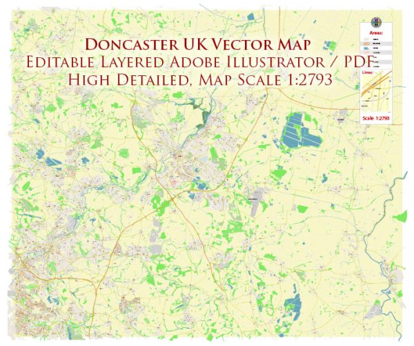
Doncaster is a historic market town in South Yorkshire, England. The town’s street layout features a mix of old and new streets, reflecting its long history. Here are some of the principal streets and areas in Doncaster:
- High Street: The High Street in Doncaster is one of the town’s main thoroughfares, lined with shops, restaurants, and businesses. It’s a central hub for shopping and leisure.
- Frenchgate: Frenchgate is a major shopping and retail district in Doncaster. It’s home to the Frenchgate Shopping Centre, which features a wide range of stores and restaurants.
- Market Place: Doncaster has a historic market that dates back to Roman times. Market Place is at the heart of the town, and the market itself is a bustling hub of activity, featuring a variety of stalls selling fresh produce, clothing, and more.
- St. Sepulchre Gate: This street leads from the town center towards Doncaster Minster, an impressive Gothic church. It’s a historic and picturesque route.
- Hall Gate: Hall Gate is another historic street in Doncaster, known for its beautiful architecture and historic buildings.
- Cleveland Street: This street runs through the town and is known for its mix of residential and commercial properties.
- Waterdale: Waterdale is a modern commercial and retail area in Doncaster, featuring shops, restaurants, and offices.
- West Laith Gate: This street is located in the town center and is home to various businesses and shops.
- Nether Hall Road: Nether Hall Road is a major road in Doncaster, connecting various parts of the town and featuring a mix of commercial and residential properties.
- Bennetthorpe: This road is known for its tree-lined streets and large, impressive houses. It’s a more affluent residential area in Doncaster.
- Thorne Road: This road leads to the nearby town of Thorne and is an important route for commuters and travelers.
- Balby Road: Balby Road is another significant road in Doncaster, connecting the town with the suburb of Balby.
- A630 (Great North Road): The A630 is a major road that runs through Doncaster, connecting it with other towns and cities in the region.
Doncaster has a rich history, and its streets reflect a mix of old-world charm and modern development. The town offers a variety of shopping, dining, and cultural experiences, making it a vibrant and diverse place to explore.


 Author: Kirill Shrayber, Ph.D. FRGS