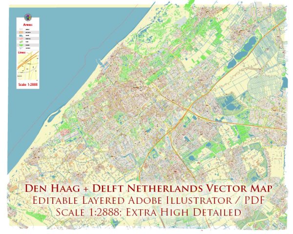
The Hague (Den Haag) and Delft are two cities in the Netherlands, located in the South Holland province. Here’s a description of some principal streets in both cities:
The Hague (Den Haag):
- Lange Voorhout: This is one of The Hague’s most beautiful streets, lined with grand trees and historic buildings. It’s known for hosting various events, including the annual Christmas market.
- Mauritskade: A street that runs along the city’s canal, offering picturesque views of the water and historic architecture.
- Noordeinde: This is a prestigious shopping street with high-end boutiques and galleries. It’s also home to the Noordeinde Palace, a working palace of the Dutch King.
- Spui: A bustling street with a variety of shops, restaurants, and bars. It’s a popular spot for both locals and tourists.
- Prinsestraat: This street is known for its boutique shops and trendy eateries. It’s a great place for shopping and dining.
Delft:
- Oude Delft: This is one of the most iconic streets in Delft, featuring historic canal-side houses and notable landmarks. It’s a charming street with a rich history.
- Markt: Delft’s main square, Markt, is surrounded by cafes, restaurants, and historic buildings. The New Church (Nieuwe Kerk) and the City Hall (Stadhuis) are prominent landmarks on this square.
- Koornmarkt: This street is lined with restaurants and cafes and is a great place to enjoy an outdoor meal by the canal during the warmer months.
- Hippolytusbuurt: Known for its charming boutiques, this street is perfect for shopping for unique gifts and souvenirs.
- Beestenmarkt: A square in Delft known for its nightlife. It’s a hub for bars and nightlife venues and is popular among students and locals.
Both The Hague and Delft offer a mix of historic charm and modern amenities, making their principal streets enjoyable places to explore and experience Dutch culture and architecture.


 Author: Kirill Shrayber, Ph.D. FRGS