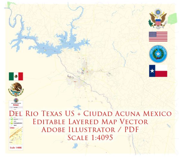
Del Rio, Texas, and Ciudad Acuña, Mexico, are neighboring cities located along the U.S.-Mexico border. They are separated by the Rio Grande River and are connected by various transportation systems to facilitate movement between the two cities. Here is a description of the transport systems in both cities:
Del Rio, Texas:
- Highways: Del Rio is connected to other parts of Texas and the United States through several major highways, including US-90, US-277, and US-377. These highways provide easy access to the rest of Texas and the U.S.
- Del Rio International Airport: Del Rio has a small airport, Del Rio International Airport (DRT), which offers domestic flights within Texas. Travelers can connect to larger airports in Texas for more extensive domestic and international travel.
- Bus Services: Greyhound operates a bus station in Del Rio, providing intercity bus services to various destinations in the United States, including routes to major cities and transportation hubs.
- Local Transportation: Within Del Rio, there is a local public transportation system that includes buses. This system is designed to serve the city and its residents rather than provide international transportation.
Ciudad Acuña, Mexico:
- Highways: Ciudad Acuña is connected to the Mexican highway system, with roads leading to other cities in Mexico. One of the key highways in the region is Mexican Federal Highway 2, which connects Ciudad Acuña to major cities in Mexico.
- Border Crossing: The Ciudad Acuña-Del Rio International Bridge is a crucial border crossing point, facilitating the movement of people and goods between the two cities. This bridge is vital for trade and travel between Mexico and the United States.
- Bus Services: Ciudad Acuña has bus stations that provide services to other Mexican cities. Travelers can access long-distance and regional bus services for domestic travel within Mexico.
- Local Transportation: Ciudad Acuña has a local transportation system, including buses, taxis, and other forms of transportation to serve the local population.
The transportation systems in both Del Rio, Texas, and Ciudad Acuña, Mexico, primarily cater to domestic travel and are designed to facilitate the movement of people and goods within their respective countries. The international bridge connecting the two cities plays a significant role in cross-border travel and trade between the United States and Mexico.


 Author: Kirill Shrayber, Ph.D. FRGS