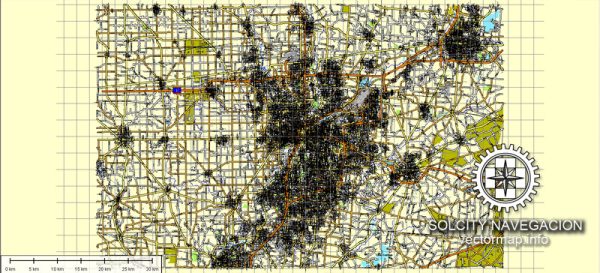
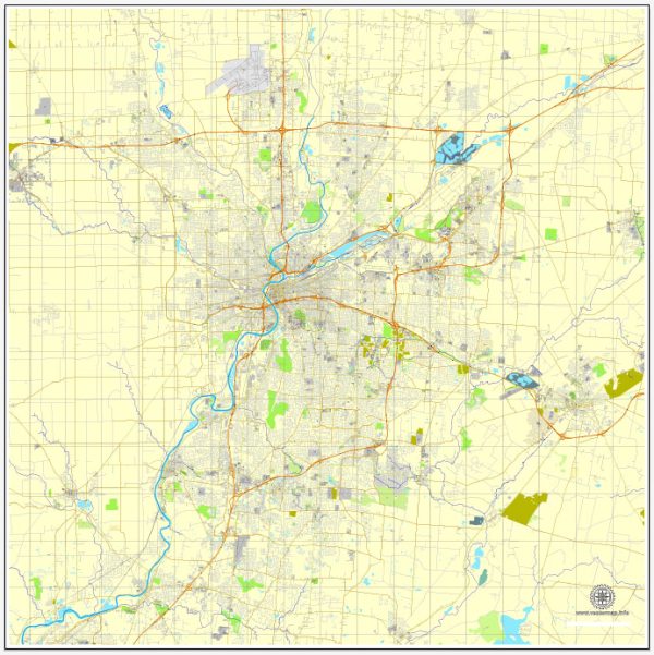
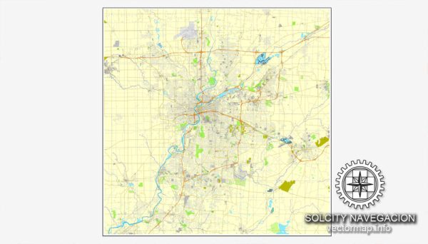
Dayton, Ohio, is a city with a well-organized street grid, and several principal streets run through the city, providing access to various neighborhoods, attractions, and businesses. Here is a description of some of the principal streets in Dayton:
- Main Street: Main Street is one of the central arteries of Dayton. It runs north-south through the city and is lined with various shops, restaurants, and businesses. Downtown Dayton, with its cultural and entertainment venues, is easily accessible from Main Street.
- Third Street: Third Street is another major east-west thoroughfare in downtown Dayton. It is home to many government buildings, museums, and the Benjamin and Marian Schuster Performing Arts Center. It provides easy access to the Oregon Historic District and the Dayton Art Institute.
- Brown Street: Brown Street is located near the University of Dayton and is a hub for students and residents alike. It features a variety of dining options, bars, and shops. Brown Street is a popular destination for those looking to explore the college town atmosphere.
- Wayne Avenue: Wayne Avenue runs through several neighborhoods in Dayton, including the Oregon District and St. Anne’s Hill. This street is known for its historic homes and offers access to various local shops and restaurants.
- Smithville Road: Smithville Road is an important north-south route on the east side of Dayton. It provides access to the Eastwood and Belmont neighborhoods and connects to US Route 35, making it a crucial transportation route.
- Salem Avenue: Salem Avenue is another north-south thoroughfare in Dayton, primarily on the northwest side of the city. It provides access to various residential areas and local businesses.
- Edwin C. Moses Boulevard: This boulevard is named after a famous Olympic athlete from Dayton. It runs through the city and offers access to the University of Dayton Arena, the Miami Valley Hospital, and the City of Dayton’s NW Recreational Complex.
- Valley Street: Valley Street is another east-west road that provides access to several neighborhoods in Dayton. It connects the northwest and southeast parts of the city, including parts of the Huffman Historic District.
These are just a few of the principal streets in Dayton, and the city’s road network is well-organized, making it relatively easy to navigate. Dayton offers a mix of urban and suburban environments, and its streets play a crucial role in connecting various parts of the city.


 Author: Kirill Shrayber, Ph.D. FRGS