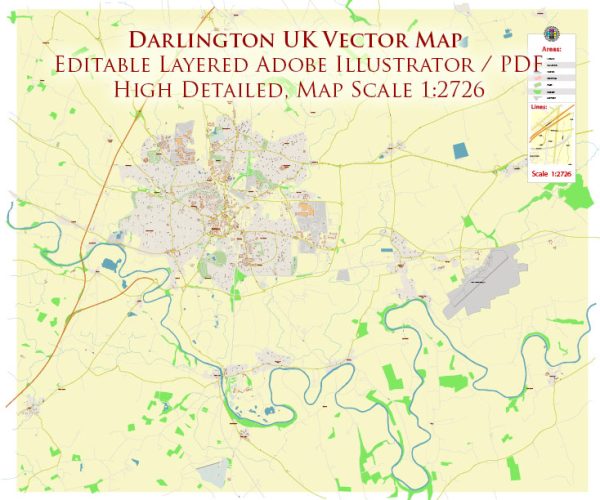
Darlington is a town in County Durham, England, and it is not particularly known for its water resources or bridges when compared to other places with significant water bodies or architectural landmarks. However, Darlington does have some water resources and a few notable bridges. Here are some key points about them:
- River Skerne: The River Skerne flows through Darlington. While not a major river, it does contribute to the town’s water resources and is a small but important water body in the area.
- South Park Lake: South Park is a popular park in Darlington, and it features a lake. The lake adds to the town’s water resources and is a lovely place for leisurely walks.
- Bridges: Darlington has several bridges that allow people to cross over the River Skerne and other smaller waterways. Some of the notable bridges in the town include:
- Yarm Road Bridge: This is a significant road bridge that crosses the River Skerne.
- Haughton Road Bridge: Another road bridge that spans the River Skerne.
- Coniscliffe Road Bridge: This bridge is a historic stone arch bridge that crosses the River Skerne in the town center.
- Blackwell Bridge: A footbridge that provides access to South Park and crosses the lake.
While Darlington’s water resources and bridges may not be as famous as those in larger cities, they still play an important role in the town’s infrastructure and provide a charming backdrop to the local environment.


 Author: Kirill Shrayber, Ph.D.