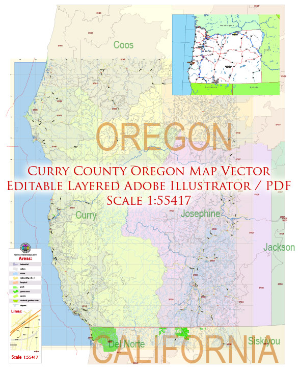
Curry County is located in southwestern Oregon, United States, and is known for its diverse and beautiful natural landscapes. The ecological description of Curry County includes a wide range of ecosystems, each with its own unique characteristics:
- Coastline: Curry County boasts over 50 miles of rugged coastline along the Pacific Ocean. The coastline features dramatic sea stacks, cliffs, and sandy beaches. It provides habitat for various marine species, including seabirds, marine mammals, and intertidal organisms.
- Temperate Rainforest: The western part of the county, including areas like the Kalmiopsis Wilderness, is part of the temperate rainforest zone. This region receives a significant amount of rainfall, leading to lush forests dominated by Sitka spruce, western hemlock, and Douglas fir. The rainforest is home to diverse flora and fauna, including various ferns, mosses, and unique lichen species.
- Rivers and Streams: Curry County is crisscrossed by numerous rivers and streams, such as the Chetco River, Rogue River, and Elk River. These waterways provide critical habitat for salmon and steelhead, which migrate from the ocean to spawn in freshwater. Riparian areas along these rivers support a variety of plant and animal species.
- Mountains and Uplands: Inland areas of Curry County feature mountainous terrain, with elevations reaching up to 6,000 feet in the Kalmiopsis Wilderness. These areas are characterized by mixed conifer forests and include species like Ponderosa pine and Pacific madrone. Wildlife such as black bears, deer, and elk can be found in these upland regions.
- Marshes and Wetlands: Curry County also has several wetland areas, including estuaries and marshes along its rivers and coast. These wetlands serve as important breeding grounds for various waterfowl, shorebirds, and fish species. The Coquille River Estuary is one such vital wetland ecosystem.
- Wild and Scenic Rivers: The county is home to several rivers designated as Wild and Scenic, such as the Chetco and Rogue Rivers. These rivers are known for their outstanding natural and scenic qualities and offer opportunities for recreational activities like kayaking, rafting, and fishing.
- Biodiversity: Curry County’s diverse ecological landscapes support a wide range of plant and animal species. This includes iconic wildlife like bald eagles, gray whales, Roosevelt elk, and the northern spotted owl, which is an endangered species found in the old-growth forests.
- Conservation Efforts: The county is committed to conservation and the preservation of its natural beauty. Various organizations and government agencies work together to protect sensitive ecosystems and maintain a balance between human activities and the environment.
In summary, Curry County, Oregon, offers a rich and diverse array of ecosystems, making it a destination for nature enthusiasts and outdoor lovers. Its stunning landscapes, abundant wildlife, and ecological diversity make it a special place within the Pacific Northwest.


 Author: Kirill Shrayber, Ph.D. FRGS