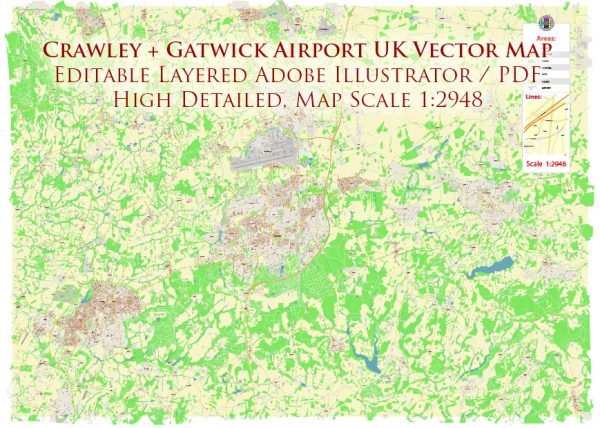
Crawley and Gatwick Airport are located in the southern part of the United Kingdom, in West Sussex, England. These areas have a variety of ecological features and considerations:
- Landscape: The landscape around Crawley and Gatwick Airport is characterized by a mix of urban and rural areas. While the airport itself is a significant urban development, the surrounding region includes farmland, woodlands, and water bodies.
- Wildlife: The area is home to a variety of wildlife. Common species in the region include birds like robins, sparrows, and pigeons. The rural areas around Crawley may also support larger wildlife such as foxes, badgers, and deer.
- Woodlands: There are several woodlands and green spaces in the vicinity, such as Tilgate Park, where various tree species and wildlife can be found. These areas are important for biodiversity and provide opportunities for outdoor recreation.
- Water Bodies: Gatwick Airport has a significant impact on water resources. The airport has drainage systems and bodies of water such as ponds, which can affect local hydrology and water quality. The region also has rivers and streams that may be important habitats for various aquatic species.
- Environmental Challenges: The expansion and operation of Gatwick Airport have raised concerns about air and noise pollution, which can impact the surrounding environment. Local conservation efforts aim to address these issues and minimize their ecological impact.
- Conservation Areas: The region includes designated conservation areas, such as the High Weald Area of Outstanding Natural Beauty (AONB). These areas are protected to preserve their natural beauty and ecological value.
- Agriculture: Agriculture is an important part of the surrounding landscape, with fields of crops and grazing land. Modern farming practices can have environmental impacts, including the use of pesticides and fertilizers, which may affect local ecosystems.
- Urban Ecology: Crawley is an urban center, and like any city, it has its share of urban ecology challenges and opportunities. Efforts are made to create green spaces, parks, and urban forests to enhance the urban environment and provide habitat for urban wildlife.
- Transportation: The presence of Gatwick Airport brings transportation-related ecological considerations. Efforts are made to manage the impact of airport operations on the local environment, including issues related to noise pollution and emissions from air travel.
- Conservation Efforts: Local organizations and authorities are engaged in various conservation efforts to protect and enhance the ecological health of the area. This may include habitat restoration, wildlife protection, and sustainable development practices.
It’s important to note that the ecological characteristics and challenges of Crawley and Gatwick Airport are continually evolving due to urban development and other factors. Efforts to balance economic development with ecological conservation are ongoing in the region.


 Author: Kirill Shrayber, Ph.D. FRGS