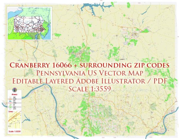
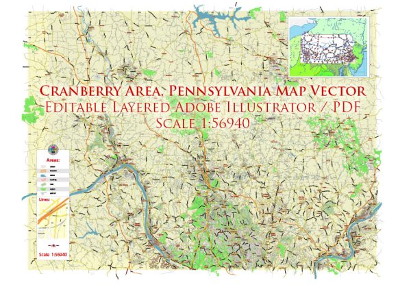
Cranberry Township is a rapidly growing suburban community located in Butler County, Pennsylvania, in the United States. It is situated in the Pittsburgh metropolitan area and is known for its convenient access to major roadways, shopping centers, and recreational facilities. Cranberry Township has a well-planned street and road network that serves the needs of its residents and businesses.
Here are some of the significant streets and roads in Cranberry Township:
- Route 19: This major north-south road, known as Perry Highway, runs through Cranberry Township. It’s a primary commercial and retail corridor, featuring numerous shopping centers, restaurants, and businesses.
- Cranberry Township Connector Road: This road helps connect various parts of the township, providing a convenient bypass to Route 19 for local traffic.
- Freedom Road: A significant east-west road that intersects with Route 19, Freedom Road is lined with businesses and shopping centers.
- Mars Road: Running parallel to Route 19, Mars Road provides another route for navigating through the township and accessing residential neighborhoods.
- Graham Park Drive: This road leads to the Graham Park area, a well-known park and sports complex in Cranberry Township.
- Dutilh Road: Located in the central part of the township, Dutilh Road is a key route connecting residential neighborhoods.
- Rowan Road: This road is another east-west route in the township, providing access to various residential areas and some local businesses.
- Cranberry Woods Drive: Home to several corporate offices and businesses, Cranberry Woods Drive is located in the heart of Cranberry Township’s business district.
- Park Road: This road provides access to North Boundary Park, which is a popular spot for outdoor activities and community events.
Cranberry Township’s road network is designed to accommodate its growing population and the increasing demand for commercial and residential areas. As a result, the township may have seen further developments and changes in its road infrastructure since my last update. To get the most current information on Cranberry Township’s principal streets and road network, you may want to refer to the township’s official website or consult local resources.


 Author: Kirill Shrayber, Ph.D.