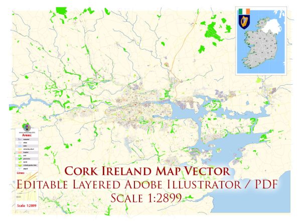
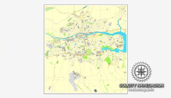
Cork, Ireland, is a city located in the southern part of the country. It is situated on an island in the River Lee and has a rich history of water resources and bridges. Here’s some information about the city’s water resources and notable bridges:
- River Lee: The River Lee is a major waterway in Cork. It flows through the city, dividing it into two parts, with the city center primarily located on an island between the north and south channels of the river. The Lee is a significant water resource, and it has played a vital role in Cork’s history, serving as a transportation route, a source of water, and a picturesque feature of the city.
- Lee Reservoirs: The city relies on several reservoirs for its water supply. Inniscarra Reservoir is one of the primary sources, located upstream on the River Lee. Water from this reservoir is treated and distributed to the city and surrounding areas.
- Bridges in Cork: Cork has a number of bridges that cross the River Lee and its branches, connecting different parts of the city:
- St. Patrick’s Bridge: This is one of the iconic bridges in Cork and is located in the city center, connecting Patrick Street to Merchant’s Quay.
- Christy Ring Bridge: Named after the famous Cork hurler, this modern cable-stayed bridge connects the city center with the regenerated docklands area.
- North Gate Bridge: Located near the historic North Gate, this bridge connects the north and south sides of the city.
- South Gate Bridge: Another key bridge in Cork, it connects the southern part of the city to the city center.
- Brian Boru Bridge: This bridge connects the Mardyke area to the city center.
- Shandon Bridge: This is a pedestrian bridge that leads to the famous Shandon area, known for its historic church and bells.
- Michael Collins Bridge: This bridge spans the River Lee and connects the Cork Kent railway station to the city center.
These bridges play a vital role in facilitating transportation and connectivity within Cork. They also contribute to the city’s unique charm, as many of them offer picturesque views of the river and surrounding areas.
Cork’s water resources and bridges are integral to the city’s identity and are significant elements of its history and infrastructure.


 Author: Kirill Shrayber, Ph.D. FRGS