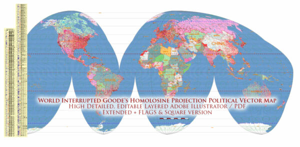
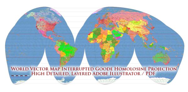
The Goode’s Homolosine projection is a map projection that was designed by John Paul Goode in the early 20th century. It is an equal-area pseudocylindrical projection that aims to minimize distortions in both size and shape, particularly in the context of representing large landmasses and their political boundaries. Here’s a description of how Goode’s Homolosine projection is used to represent political history on a world map:
- Equal Area: One of the key features of the Goode’s Homolosine projection is that it preserves the relative sizes of land areas. This means that it provides a more accurate representation of the true size of continents and countries, which is important when depicting political history. Distortions are minimized, allowing for a more equitable view of the world.
- Split Continents: In Goode’s Homolosine projection, large landmasses, such as continents, are often split into segments. For example, North America is split into two non-contiguous regions, and South America is split into several pieces. This division is done to reduce distortion and better represent the land’s true size and shape.
- Political Boundaries: Political boundaries, such as country borders, are generally depicted accurately on the map. The equal-area nature of the projection helps ensure that countries are not distorted in terms of their territorial extent. This is particularly important when representing the political history of nations and their territorial changes over time.
- Minimized Shape Distortions: While the projection does split continents, it minimizes shape distortions, so countries and regions generally maintain their recognizable shapes. This makes it useful for displaying historical events, like border changes, without significant distortions.
- Geographic Context: Goode’s Homolosine projection provides a comprehensive view of the entire world. This is essential for understanding the context of political history, as it allows viewers to see how events in one region may have affected or been influenced by events in other parts of the world.
It’s worth noting that while Goode’s Homolosine projection is designed to be an equal-area projection, it still has some distortions, especially at the map’s edges and near the poles. Therefore, it may not be the best choice for detailed navigation or precise measurements, but it is a valuable tool for representing the political history of the world in a way that emphasizes the relative sizes and positions of countries and regions.


 Author: Kirill Shrayber, Ph.D.