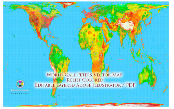
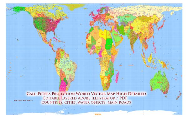
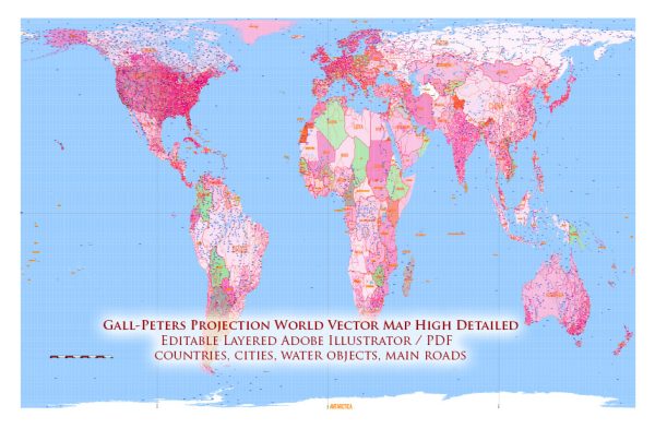
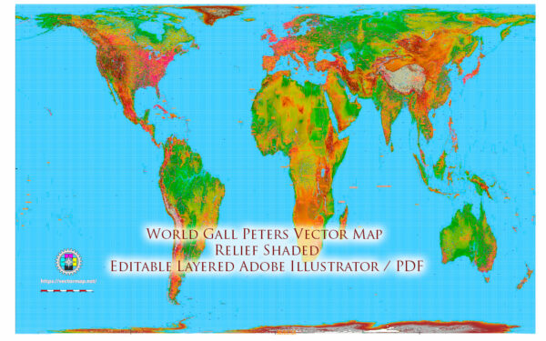
The Gall-Peters projection is a map projection that aims to provide a more accurate representation of the relative sizes of landmasses compared to traditional projections like the Mercator. It’s an equal-area projection, which means it tries to preserve the relative areas of different regions on the map.
In terms of political history, the Gall-Peters projection has been associated with some controversy and debate. This projection was created by James Gall in the 19th century but became more widely known as the Gall-Peters projection when Arno Peters promoted it as a more socially just and politically unbiased alternative to other map projections.
Advocates for the Gall-Peters projection argue that it presents a more equitable view of the world, particularly in terms of showing the true size of countries in the Global South, which often appear much smaller on traditional maps. This has led to claims that traditional maps, particularly the Mercator projection, perpetuate colonial and Eurocentric biases by making Western countries seem larger and more prominent.
On the other hand, critics of the Gall-Peters projection argue that while it does address some size distortions found in other projections, it distorts shapes and distances significantly, making it less useful for navigational and geographic purposes. Some also criticize the projection for its appearance, as it can make the world map look quite stretched and unusual compared to the familiar shapes found on Mercator maps.
The choice of map projection can have political implications, as it can influence how people perceive the world and its geography. Different organizations, educational institutions, and governments have sometimes chosen to use or adopt specific map projections for various reasons, including political or ideological ones. However, the choice of map projection is only one aspect of the broader field of cartography, which involves many considerations and trade-offs.


 Author: Kirill Shrayber, Ph.D. FRGS