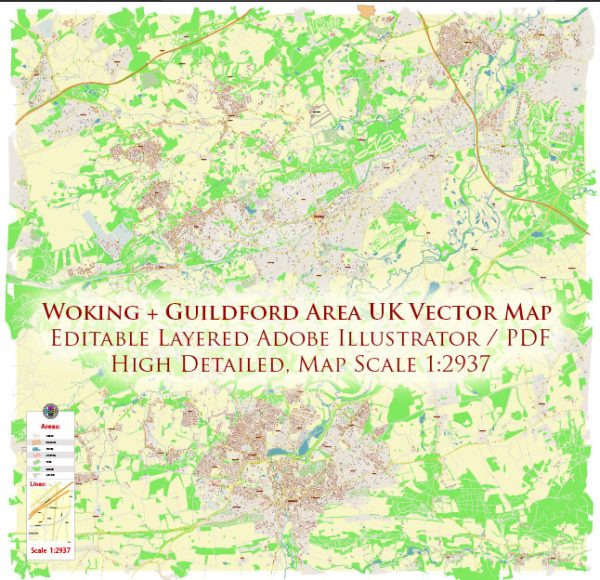
Woking and Guildford are both located in the county of Surrey in the United Kingdom. They are part of the South East region, and while they are not directly adjacent to each other, they share some common characteristics in terms of water resources and bridges.
Water Resources:
- River Wey: The River Wey flows through both Woking and Guildford. It is a significant water resource in the region and is often used for various recreational activities, including boating and fishing.
- Reservoirs: There are several reservoirs in the area that contribute to the water supply, including the nearby Staines Reservoirs and the Silent Pool.
- Groundwater: The region also relies on groundwater as a water source, and several boreholes are used to extract this resource.
Bridges:
- Guildford’s Bridges: Guildford is known for its historic bridges. The most famous one is probably the Town Bridge, which dates back to the 13th century. It crosses the River Wey and provides a picturesque view of the town. Other notable bridges in Guildford include the Millmead Lock Footbridge and Walnut Bridge.
- Woking’s Bridges: While Woking doesn’t have as many historic bridges as Guildford, it has several modern road and rail bridges that connect different parts of the town. These bridges are important for transportation and traffic management in the area.
- Byfleet Bridge: Located near Woking, the Byfleet Bridge is a historic structure that crosses the River Wey and is known for its architectural significance.
- Transportation Bridges: Both Woking and Guildford have a network of bridges that support road and rail transportation. These include bridges on major roads like the A320, M25, and A3, as well as numerous railway bridges serving the South Western Railway and other train services.
The water resources in these areas play a crucial role in supplying water to the residents and supporting various outdoor activities. Additionally, the bridges, both historic and modern, are vital for transportation and connectivity in the region. They also contribute to the architectural and aesthetic appeal of these towns.


 Author: Kirill Shrayber, Ph.D. FRGS