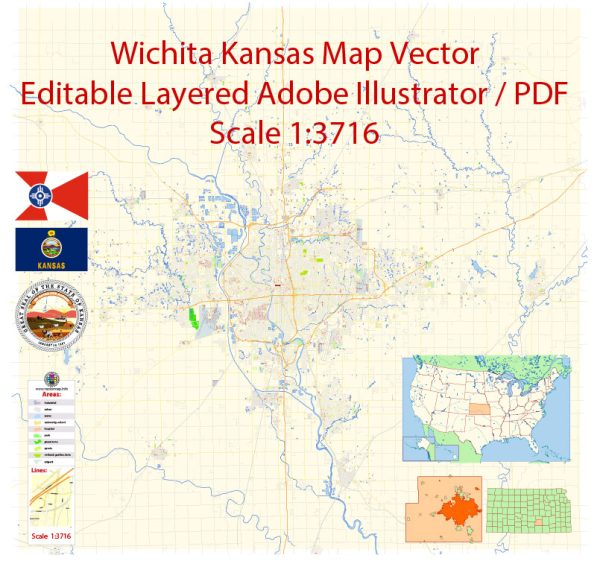
Wichita, Kansas, has a number of water resources and bridges that play a vital role in the city’s infrastructure and transportation. Here are some of the notable water resources and bridges in Wichita:
Water Resources:
- Arkansas River: The Arkansas River flows through Wichita and is a significant water resource for the city. It provides water for various purposes, including recreation and irrigation.
- Cheney Reservoir: Located to the west of Wichita, Cheney Reservoir is a major water supply source for the city and the surrounding area. It is also a popular location for boating and fishing.
- Little Arkansas River: This is a tributary of the Arkansas River that flows through Wichita. It is an important component of the city’s overall water management.
- Water Treatment Plants: Wichita has several water treatment plants that process and purify water from these sources to provide safe drinking water to the city’s residents.
Bridges:
- Kellogg Avenue Bridges: Wichita has multiple bridges that cross the Arkansas River, and several of them are part of Kellogg Avenue, a major east-west thoroughfare in the city.
- 9th Street Bridge: This bridge connects downtown Wichita with the Delano District and crosses the Arkansas River.
- Lincoln Street Bridge: Located in the Riverside neighborhood, this bridge is another important river crossing in the city.
- McLean Boulevard Bridge: McLean Boulevard is another significant roadway in Wichita, and its bridge crosses the Arkansas River, providing access to the west bank of the river.
- 135th Street Bridge: Located in the southwest part of the city, this bridge crosses the Little Arkansas River and connects the city to the surrounding suburbs.
These water resources and bridges are essential for transportation, water supply, and overall infrastructure in Wichita, helping to support the city’s residents and economy. Please note that the status and conditions of these resources and bridges may change over time, so it’s a good idea to check with local authorities or official sources for the most up-to-date information.


 Author: Kirill Shrayber, Ph.D. FRGS