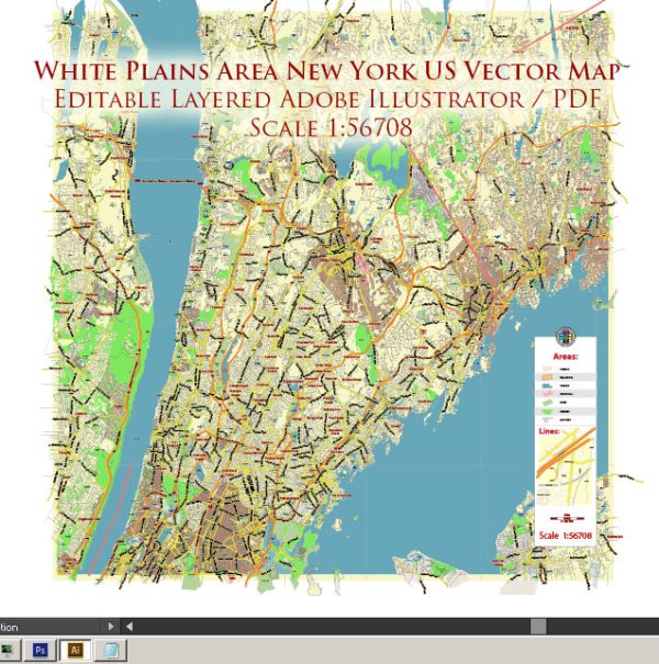
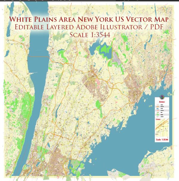
White Plains, New York, is a city located in Westchester County, and it’s not directly associated with significant water resources or major bridges in the way that some other cities might be. However, it does have access to various water resources and is connected to the surrounding region by several bridges and waterways. Here’s some information about these aspects:
Water Resources:
- The Bronx River: The Bronx River flows through White Plains and is one of the significant water resources in the area. It is the only freshwater river in New York City and is used for recreational activities and ecological conservation.
- Reservoirs: While White Plains does not have its own reservoirs, it is part of Westchester County, which has several reservoirs. These reservoirs, such as the Kensico Reservoir, provide drinking water to the city and its surrounding areas.
Bridges:
- Tappan Zee Bridge (now known as the Governor Mario M. Cuomo Bridge): While not directly in White Plains, this bridge connects Westchester County to Rockland County and spans the Hudson River, serving as a vital transportation link for the region.
- Westchester Avenue Bridge: This bridge connects different parts of White Plains, facilitating local transportation and traffic flow.
- Various Local Bridges: White Plains has many smaller local bridges that span streams and creeks, providing essential connections within the city.
White Plains is part of the larger New York metropolitan area, and its water resources and bridges are part of the regional network, ensuring transportation and water supply for the city and its surrounding communities.


 Author: Kirill Shrayber, Ph.D. FRGS