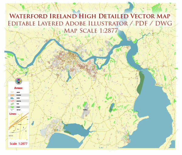
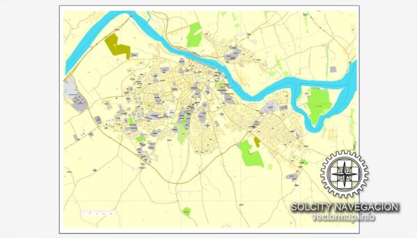
Waterford is a city in the southeast of Ireland, and it is known for its rich history and location on the River Suir. Water resources and bridges play a significant role in the city’s infrastructure and history. Here are some key points about Waterford’s water resources and bridges:
- River Suir: Waterford is situated on the banks of the River Suir, which is the third-longest river in Ireland. The river has been a crucial water resource for the city, providing a source of freshwater for the residents and supporting various economic activities over the centuries.
- Waterford Quays: The city has a historic port area known as Waterford Quays. This area has been vital for trade and transportation, and several bridges span the River Suir to connect the city with the quays. Some of the prominent bridges include:
- The Red Bridge: This is a bascule bridge that connects the city center to the north side of the River Suir.
- Rice Bridge: Another significant bridge in Waterford, it connects the city to the south side of the river and allows for road traffic to flow smoothly.
- Water Supply: Waterford’s drinking water supply is drawn from the River Suir and treated to meet the city’s water requirements. The city’s water treatment facilities ensure a clean and safe water supply for its residents.
- Waterford Greenway: The Waterford Greenway is a popular recreational trail that follows the path of a former railway line. This trail offers residents and visitors a beautiful way to experience the city’s natural surroundings, including the river and its picturesque landscapes.
- History: Waterford has a long history dating back to Viking times, and its location on the River Suir made it an important center for trade and commerce. The city’s bridges and water resources have played a crucial role in its development and connectivity to other parts of Ireland.
Overall, Waterford’s water resources, particularly the River Suir, and its various bridges are integral to the city’s identity, history, and infrastructure. They have facilitated trade, transportation, and recreational activities, making Waterford a dynamic and vibrant city in the southeast of Ireland.


 Author: Kirill Shrayber, Ph.D. FRGS