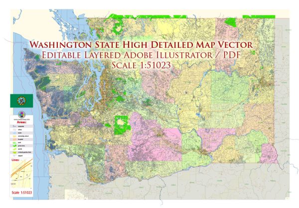
Washington State has a rich and diverse water resource system, with numerous rivers, lakes, and other bodies of water. Additionally, the state has a significant number of bridges to facilitate transportation and connectivity. Here’s an overview of Washington State’s water resources and some notable bridges:
Water Resources:
- Columbia River: The Columbia River is one of the most significant rivers in the Pacific Northwest. It flows for over 1,200 miles and forms much of the border between Washington and Oregon. The river is vital for navigation, hydroelectric power generation, and supports a wide range of economic activities.
- Puget Sound: Puget Sound is a complex estuarine system in the northwestern part of the state. It’s home to a wide variety of marine life and plays a crucial role in the region’s economy, supporting shipping, recreation, and tourism.
- Salmon-Producing Rivers: Washington State has numerous rivers, including the Snake River and its tributaries, that are essential for salmon spawning. These rivers are important for both commercial and recreational fishing and are a significant component of the state’s culture and economy.
- Lake Washington and Lake Sammamish: These two interconnected lakes are located in the Seattle metropolitan area and provide recreational opportunities, as well as serving as sources of drinking water for the region.
- Cascades and Olympics Mountains: The mountain ranges in Washington are the source of many rivers and streams that feed the state’s waterways. These mountains are also important for their role in storing water as snowpack, which gradually melts and feeds the rivers throughout the year.
Notable Bridges:
- Tacoma Narrows Bridge: The Tacoma Narrows Bridge is a pair of twin bridges that span the Tacoma Narrows strait of Puget Sound. The original Tacoma Narrows Bridge, famously known for its collapse in 1940, was replaced by the current pair of bridges, which are important for regional transportation.
- Evergreen Point Floating Bridge: Also known as the SR 520 Bridge, it’s one of the world’s longest floating bridges and connects Seattle and Medina across Lake Washington.
- Aurora Bridge: Located in Seattle, this bridge carries Aurora Avenue over the Lake Union Ship Canal and is known for its distinctive Art Deco design.
- Vantage Bridge: Spanning the Columbia River in central Washington, this bridge is a significant transportation link on Interstate 90.
- Hood Canal Bridge: This floating bridge spans Hood Canal, connecting the Olympic and Kitsap Peninsulas in western Washington.
- I-5 Skagit River Bridge: This bridge in Mount Vernon is an important transportation link on Interstate 5, which connects Washington to Oregon and Canada.
These are just a few examples, and Washington State has numerous other bridges and water resources that play crucial roles in the state’s transportation, economy, and environment. The management and conservation of these resources are essential for the well-being and sustainability of the region.


 Author: Kirill Shrayber, Ph.D.