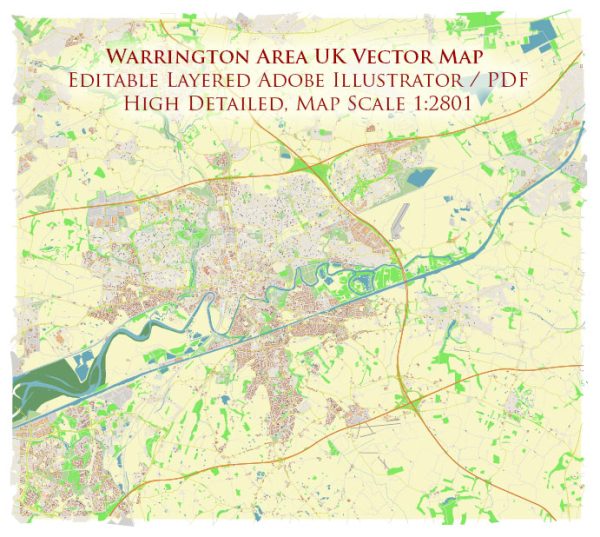
Warrington is a town in Cheshire, England, and it is situated along the River Mersey. The town and its surrounding area have several important water resources and bridges. Here are some of them:
- River Mersey: The River Mersey flows through Warrington and is a significant water resource for the area. It provides a water source for various purposes, including industrial, recreational, and agricultural use.
- Sankey Canal: The Sankey Canal is a historic waterway that runs through Warrington. It was one of the first true canals in the UK and was originally built to transport coal from mines in St Helens to the growing chemical industry in Liverpool. While it is no longer used for transportation, it is a part of the town’s industrial heritage and is now a popular recreational area.
- Bridges: Warrington has numerous bridges that cross the River Mersey and the Sankey Canal, connecting different parts of the town and providing vital transportation links. Some of the notable bridges in the area include the Kingsway Bridge, the Thelwall Viaduct, and the Cantilever Bridge. These bridges play a crucial role in the local transportation infrastructure.
- Bridgewater Canal: The Bridgewater Canal, which runs through Warrington, is another important waterway. It was the first true canal in England and is known for its historical significance. It’s no longer a major transportation route but is popular for leisure boating and scenic walks.
- Rixton Clay Pits: The Rixton Clay Pits, located in the area, were once a source of clay used in the local pottery industry. The clay pits are now flooded, creating a series of lakes known as the Rixton Clay Pits Nature Reserve. These lakes provide a habitat for wildlife and are used for recreational purposes.
Warrington’s water resources and bridges are essential for the town’s history, transportation, and recreational activities. They contribute to the local environment and provide opportunities for residents and visitors to enjoy the natural beauty of the area.


 Author: Kirill Shrayber, Ph.D. FRGS