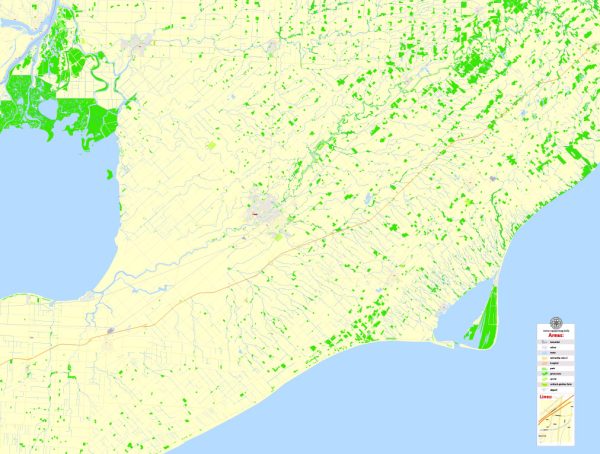
Wallaceburg and Chatham are two communities in Ontario, Canada, and they are located in close proximity to one another. They are both situated in the Chatham-Kent municipality, which is known for its water resources and bridges. Here’s some information about the water resources and bridges in this region:
- Water Resources:
- Lake St. Clair: Chatham-Kent is located on the northern shore of Lake St. Clair, which is part of the Great Lakes system. The lake provides recreational opportunities, as well as a source of water for various activities.
- Thames River: The Thames River flows through Chatham-Kent, and it plays a significant role in the region’s water resources. The river is used for various purposes, including boating, fishing, and as a water source for the community.
- Marinas and Boating: Chatham-Kent has several marinas and boating facilities, making it a popular destination for boaters and water enthusiasts. Boating and fishing are popular activities in the area due to its proximity to water bodies.
- Bridges:
- Chatham-Kent boasts numerous bridges that help connect the various communities in the region and facilitate transportation across water bodies. Some of the notable bridges include:
- Third Street Bridge: This is a prominent bridge in Chatham that spans the Thames River. It is an important crossing for both vehicular and pedestrian traffic.
- King George VI Lift Bridge: Located in downtown Chatham, this lift bridge allows boats to pass underneath. It’s an iconic structure in the community.
- Wallaceburg Swing Bridge: This swing bridge is an essential river crossing for Wallaceburg, allowing road traffic to cross the Sydenham River.
- Additionally, there are several other smaller bridges and culverts throughout Chatham-Kent to facilitate transportation and access to various parts of the region.
- Chatham-Kent boasts numerous bridges that help connect the various communities in the region and facilitate transportation across water bodies. Some of the notable bridges include:
These water resources and bridges are not only vital for transportation but also contribute to the recreational and aesthetic appeal of the Chatham-Kent region. They are an integral part of the local landscape, providing opportunities for both residents and visitors to enjoy the natural beauty and water-based activities in the area.


 Author: Kirill Shrayber, Ph.D. FRGS