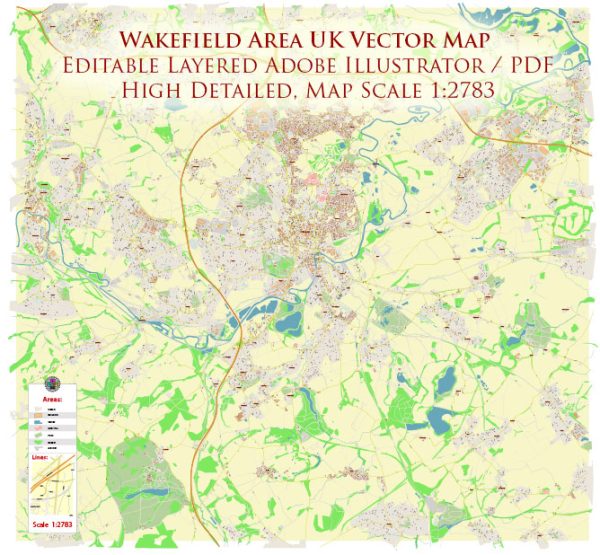
The Wakefield area in the United Kingdom is located in West Yorkshire, England. It is not particularly known for its extensive water resources or bridges when compared to larger cities like London or Manchester. However, there are some water features and bridges of note in and around the Wakefield area:
- River Calder: The River Calder runs through Wakefield and is a prominent water feature in the area. It is a tributary of the River Aire and flows through the city center, providing opportunities for scenic walks and green spaces along its banks.
- Pugneys Country Park: Pugneys Country Park is located near Wakefield and includes a lake, which offers recreational activities like sailing, windsurfing, and fishing. It is a popular spot for outdoor enthusiasts.
- Thornes Park Lake: Thornes Park is another park in Wakefield that features a large lake. It is a tranquil place for leisurely walks and picnics, and it also has a variety of waterfowl.
- Bridges: Wakefield, like many towns and cities in the UK, has a number of bridges that cross its rivers and canals. Some of the more notable ones include:
- Chantry Bridge: This is an historic stone bridge over the River Calder in Wakefield.
- Navigation Road Bridge: A modern road bridge that spans the Calder and Hebble Navigation canal in Wakefield.
- Many smaller footbridges and road bridges exist throughout the area, serving to connect various neighborhoods and facilitate transportation.
- Calder and Hebble Navigation: This is a canal that runs through Wakefield, and it has several locks and bridges along its route. It is used for navigation and recreational purposes.
While the Wakefield area may not be famous for its water resources and bridges, it does have some charming spots for outdoor activities and scenic views. Additionally, the city’s history and architecture make it a worthwhile place to explore.


 Author: Kirill Shrayber, Ph.D. FRGS