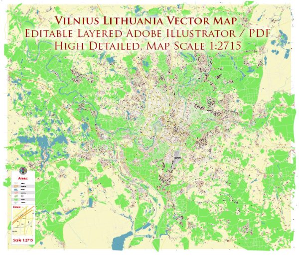
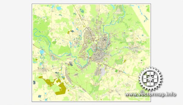
Vilnius, the capital of Lithuania, is situated at the confluence of several rivers and has a rich history of bridges and water resources. Here’s an overview of Vilnius’s water resources and notable bridges:
- Rivers:
- Neris River: The Neris River flows through Vilnius, dividing the city into two parts. It is the largest river in Lithuania and a significant source of water for the city.
- Vilnia River: The Vilnia River is another important watercourse in Vilnius. It flows into the Neris River within the city.
- Lakes:
- Lake Galvė: While not located directly within Vilnius but nearby, Lake Galvė is one of the larger lakes in the area, known for its scenic beauty and recreational activities.
- Reservoirs:
- Kūdrų Reservoir: This man-made reservoir is situated in the southeastern part of Vilnius. It was created by damming the Vilnia River and serves various purposes, including water supply.
Notable Bridges:
- King Mindaugas Bridge: King Mindaugas Bridge is one of the most prominent and iconic bridges in Vilnius. It spans the Neris River, connecting the city center to the district of Šnipiškės. The bridge is notable for its modern design and picturesque views of the city.
- White Bridge (Baltasis tiltas): This is another important bridge that crosses the Neris River, connecting the Old Town of Vilnius to the Užupis district. It is a historic bridge with a distinctive white color, offering beautiful views of the river and the city.
- Karallaus Mindaugo tiltas: This bridge, named after King Mindaugas, connects the Old Town of Vilnius with the district of Naujamiestis. It is a vital transportation link in the city.
- Zaliasis Bridge: This is a green-colored bridge that spans the Neris River and connects the Antakalnis district to the city center. It offers a unique visual contrast to the surrounding environment.
- Zverynas Bridge: The Zverynas Bridge links the districts of Žvėrynas and Antakalnis, crossing the Neris River. It is known for its red color and is an important structure for local transportation.
These bridges and water resources in Vilnius not only serve as vital transportation links but also add to the city’s charm and beauty. The presence of numerous rivers and lakes contributes to the natural landscape of the city, making it an attractive place for both residents and visitors.


 Author: Kirill Shrayber, Ph.D. FRGS