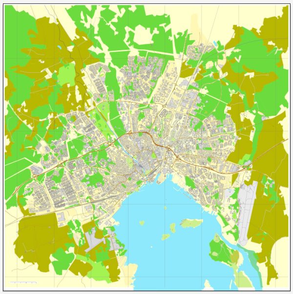
Västerås is a city in central Sweden, located on the shore of Lake Mälaren. The city has several water resources, and there are a number of bridges and water-related infrastructure in and around the city. Here are some key points about Västerås’ water resources and bridges:
- Lake Mälaren: Västerås is situated on the northern shore of Lake Mälaren, one of the largest and most important freshwater lakes in Sweden. The lake provides a valuable water resource for the city, supporting various recreational activities, fishing, and offering scenic views.
- Svartån River: The Svartån River flows through Västerås, providing a natural watercourse within the city. This river has several small bridges and walkways that allow people to cross and enjoy the waterfront.
- Västerås Harbor: Västerås has a harbor located on Lake Mälaren, which plays a crucial role in the transportation of goods and passengers. The harbor area features docks, piers, and bridges used for shipping and leisure activities.
- Bridges: There are several bridges in Västerås that connect different parts of the city and provide transportation links. These include road bridges, pedestrian bridges, and railway bridges. Notable bridges in Västerås include:
a. Djäknebron: This is a historic bridge that spans the Svartån River in the city center. It is a popular pedestrian bridge with a unique design.
b. Vallbybron: This is a road bridge that crosses the Svartån River, connecting the Vallby district with other parts of Västerås.
c. Lögarängsbron: This bridge is a part of the European Route E18, a major road connecting Västerås to other cities in Sweden.
d. Railway Bridges: Västerås also has various railway bridges that allow trains to cross waterways and provide an important transportation link.
The city’s water resources and bridges are integral to its infrastructure and contribute to the overall beauty and functionality of Västerås. They play a significant role in the daily life of the residents and the local economy, with water resources providing recreational opportunities and bridges facilitating transportation and connectivity.


 Author: Kirill Shrayber, Ph.D. FRGS