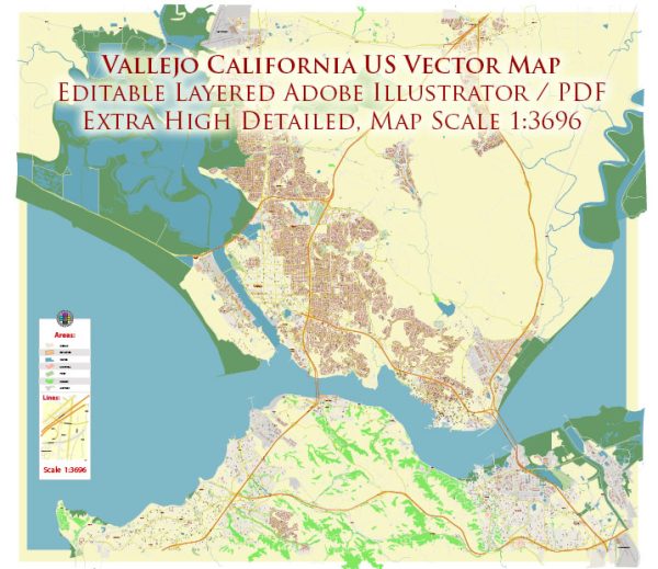
Vallejo, California, is a city located in the San Francisco Bay Area, and it has a unique history and urban development pattern. Here’s a description of Vallejo’s urban development:
- Historic Background: Vallejo has a rich history, and it was one of California’s earliest state capitals in the mid-19th century. This historical influence is reflected in the city’s architecture and layout, with well-preserved Victorian homes and historic buildings.
- Diverse Neighborhoods: Vallejo is known for its diverse neighborhoods, each with its own character and charm. The city is divided into various districts, including downtown Vallejo, Mare Island, and more suburban and residential areas. Each neighborhood offers a distinct atmosphere, from the urban vibrancy of downtown to the more relaxed and suburban settings of other areas.
- Downtown Redevelopment: Vallejo has undergone significant efforts in recent years to revitalize its downtown area. Projects aimed at enhancing the city’s urban core have included the development of new restaurants, entertainment options, and housing to create a more vibrant and walkable city center.
- Waterfront Access: Vallejo enjoys a prime location along the San Francisco Bay, offering picturesque waterfront views. The city has made efforts to improve access to the waterfront, creating parks, promenades, and recreational areas for residents and visitors to enjoy the beautiful bay.
- Housing Diversity: Vallejo’s housing market offers a mix of options, including single-family homes, apartments, and condominiums. The city has witnessed an increase in residential development to accommodate its growing population.
- Transportation: Vallejo is well-connected to the surrounding Bay Area through various transportation options. The city has a ferry terminal that connects it to San Francisco, making it a convenient commuter location. Additionally, major highways and public transportation services facilitate travel within the city and to neighboring cities.
- Cultural and Recreational Amenities: Vallejo boasts a range of cultural and recreational amenities, including museums, theaters, and parks. Six Flags Discovery Kingdom, a popular theme park and wildlife attraction, is located in Vallejo and attracts visitors from all over the region.
- Economic Development: The city’s economy has diversified over the years, with industries such as healthcare, education, and tourism playing significant roles. Mare Island, a former naval shipyard, has been repurposed for various commercial and industrial uses, contributing to Vallejo’s economic development.
- Sustainability Initiatives: Vallejo has taken steps to promote sustainability and environmental consciousness. The city has implemented green building practices and initiatives to reduce its carbon footprint.
- Community Engagement: Community organizations and events play a crucial role in Vallejo’s urban development. Residents actively engage in shaping the city’s future through local government, neighborhood associations, and civic projects.
Overall, Vallejo, California, exhibits a diverse and evolving urban landscape, with ongoing efforts to enhance its livability, cultural offerings, and economic vitality. The city’s historical significance, waterfront location, and vibrant communities make it an attractive place to live and visit in the Bay Area.


 Author: Kirill Shrayber, Ph.D. FRGS