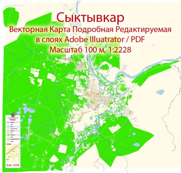
Syktyvkar is the capital city of the Komi Republic in Russia. The city is divided into several administrative districts, each with its own unique characteristics. Here’s a brief overview of the districts and neighborhoods in Syktyvkar:
- Central District (Tsentralny District):
- This is the heart of Syktyvkar and where most of the city’s administrative and cultural institutions are located.
- You can find the Komi Republic’s government buildings, museums, theaters, and major shopping centers in this district.
- The central part of the city offers a mix of historic and modern architecture, including Soviet-era buildings and more contemporary developments.
- Oktyabrsky District:
- Oktyabrsky District is located in the southern part of the city.
- It is primarily a residential area with a mix of apartment buildings, parks, and educational institutions.
- The district is home to a number of schools and educational facilities, making it a popular choice for families.
- Pervomaysky District:
- Situated in the eastern part of Syktyvkar, Pervomaysky District is predominantly residential.
- The district is known for its residential neighborhoods, parks, and recreational areas.
- It is relatively quiet and offers a more suburban atmosphere compared to the central areas.
- Sovetsky District:
- Sovetsky District is located in the western part of the city.
- This district is characterized by a mix of residential areas, green spaces, and some industrial zones.
- It is home to various shops, markets, and local businesses.
- Syktyvkar International Airport:
- This area is primarily focused on transportation and is home to Syktyvkar International Airport.
- It is a gateway to the city for travelers and serves as a hub for regional flights.
- Industrial Zones:
- Syktyvkar also has various industrial zones scattered throughout the city, typically located on the outskirts.
- These areas are home to factories, warehouses, and manufacturing facilities.
Syktyvkar is known for its cultural heritage, with a significant Komi population. The city offers a mix of historical and modern attractions, including museums, theaters, and parks. Additionally, Syktyvkar experiences a continental climate with cold winters and warm summers, making it a unique place to experience both cultural and natural wonders.
Keep in mind that the city may have seen developments and changes in recent years, and it’s always a good idea to consult local sources or residents for the most up-to-date information on specific neighborhoods and districts in Syktyvkar.


 Author: Kirill Shrayber, Ph.D. FRGS