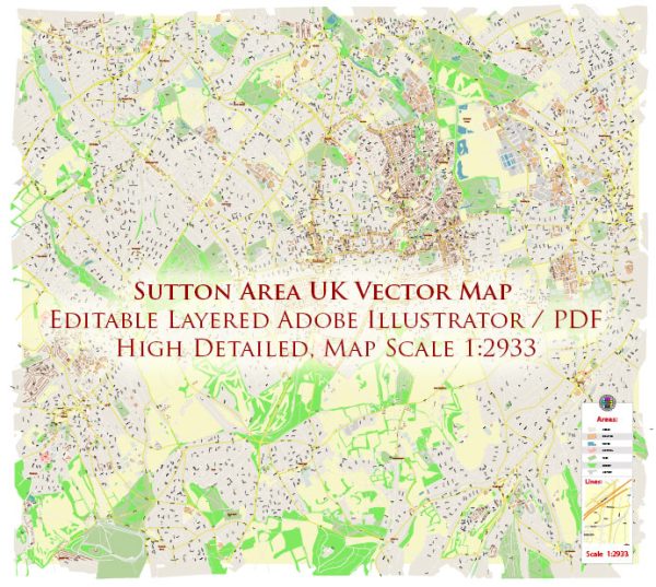
The London Borough of Sutton, located in South London, encompasses a diverse range of ecological features and natural environments. Here’s an ecological description of the borough:
- Green Spaces: Sutton boasts a significant amount of green space, including numerous parks and open areas. These green spaces provide important habitats for wildlife and recreational opportunities for residents. Prominent parks include Beddington Park, Oaks Park, Carshalton Park, and Sutton Green.
- Woodlands: The borough is home to several woodlands and wooded areas, such as Carshalton Woods, Roundshaw Downs, and Little Wood. These areas support a variety of native tree species and wildlife, making them important for biodiversity.
- Biodiversity: Sutton is known for its rich biodiversity, with a mix of native and non-native species. Efforts are made to protect and enhance biodiversity in the borough, and the local government often works on conservation projects to support wildlife.
- Water Bodies: The River Wandle flows through Sutton, and there are various ponds and lakes within parks, providing essential water sources for local wildlife. The river and water bodies offer habitats for a range of aquatic and semi-aquatic species.
- Wildlife: The borough is home to various wildlife species, including squirrels, foxes, hedgehogs, waterfowl, and a variety of bird species. Conservation initiatives often focus on protecting these animals and their habitats.
- Nature Reserves: Sutton features several nature reserves and designated protected areas, such as Hutchinson’s Bank and Devonshire Avenue Nature Area. These reserves play a crucial role in preserving and promoting native flora and fauna.
- Conservation Efforts: Conservation efforts in the borough are aimed at protecting and enhancing the natural environment. Wildlife corridors and habitat restoration projects are common approaches used to support biodiversity.
- Green Infrastructure: Sutton emphasizes the importance of green infrastructure, including green roofs and walls, to enhance urban ecosystems, improve air quality, and mitigate the urban heat island effect.
- Sustainable Practices: The borough promotes sustainability through initiatives like recycling programs, waste reduction, and encouraging the use of green transportation options. Efforts are made to reduce pollution and promote eco-friendly practices.
- Urban Greening: Urban development plans often incorporate green spaces and trees to enhance the ecological and aesthetic qualities of the area. This includes street tree planting and green urban projects.
Sutton’s ecological characteristics may vary from one area to another within the borough, and efforts are ongoing to balance urban development with the preservation of natural environments. Local ecological descriptions may be subject to further research and assessment by environmental organizations and government bodies to ensure the protection and enhancement of the local ecosystem.


 Author: Kirill Shrayber, Ph.D. FRGS