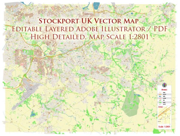
Stockport is a town in Greater Manchester, England, and it has several water resources and bridges of note. Here are a few notable ones:
- River Mersey: The River Mersey flows through Stockport, and several bridges span it within the town. The most famous of these is probably the Stockport Viaduct, which is a large brick-built viaduct carrying the West Coast Main Line over the River Mersey. It’s an iconic structure and is often associated with Stockport.
- Lancashire Hill Bridge: This bridge, also known as Stockport Viaduct (not to be confused with the viaduct mentioned earlier), carries the A6 road over the River Mersey. It’s a significant road bridge connecting Stockport with the neighboring town of Cheadle Heath.
- Vernon Park Bridge: Located in Vernon Park, this picturesque stone bridge crosses the River Tame, which is a tributary of the River Mersey. The bridge is a popular spot for park visitors and offers scenic views of the park and the river.
- Marple Aqueduct: While not within the town center of Stockport, the Marple Aqueduct is located nearby in Marple. It’s a remarkable structure that carries the Peak Forest Canal over the River Goyt. The aqueduct is a popular attraction and offers scenic views.
- Etherow Country Park: This park is located to the east of Stockport and features the Etherow River and Reservoir. Several pedestrian and vehicular bridges are found in the park, providing access to various parts of the area.
These are just a few examples of the water resources and bridges in and around Stockport. The town’s geography and history have led to the development of various bridges and crossings over its rivers and waterways.


 Author: Kirill Shrayber, Ph.D. FRGS