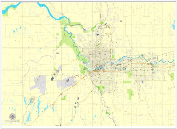
Spokane, Washington, is a city with a well-organized street grid system. Here are some of the principal streets and a brief description of each:
- Division Street: Division Street is one of Spokane’s major north-south thoroughfares. It runs through the heart of the city and is lined with a variety of businesses, restaurants, and shops. This street serves as a central artery for both local and through traffic.
- Riverside Avenue: Riverside Avenue is one of Spokane’s primary east-west streets, running along the southern edge of downtown. It’s known for its historic architecture and proximity to the Spokane River, making it a scenic route through the city.
- Sprague Avenue: Sprague Avenue is another major east-west street, running parallel to Riverside Avenue a few blocks to the south. It’s a bustling commercial corridor with a mix of retail, dining, and entertainment options.
- Monroe Street: Monroe Street is a key north-south street that intersects with Division Street and runs through the center of downtown Spokane. It features a variety of shops, restaurants, and cultural attractions.
- North Division Street: North Division Street extends further north from the city center and is a significant commercial and retail district. It’s also a major route for accessing residential neighborhoods in the northern part of Spokane.
- South Hill: The South Hill area, on the southern side of the Spokane River, is known for its steep hills and residential neighborhoods. The primary streets on the South Hill, such as Grand Boulevard, High Drive, and 29th Avenue, offer access to many homes and parks.
- Hamilton Street: Hamilton Street runs parallel to Division Street and is an important north-south thoroughfare in the northeastern part of Spokane. It connects residential neighborhoods and provides access to parks and schools.
- Freya Street: Freya Street is another major north-south road that runs on the east side of Spokane. It connects with Interstate 90 and serves as a route for both residential and commercial areas.
- Maple Street Bridge: The Maple Street Bridge is a significant bridge that crosses the Spokane River and connects downtown Spokane with the West Central neighborhood. It offers stunning views of the river and downtown skyline.
- Highway 2 and Division Street Junction: This intersection is in the northern part of Spokane and marks the junction of U.S. Highway 2 and North Division Street. It’s a busy gateway for travelers entering or leaving the city.
These are just a few of the principal streets in Spokane, but the city has a well-structured grid system that makes navigation relatively straightforward. Spokane’s streets are lined with a mix of urban and residential areas, providing a diverse range of experiences for both residents and visitors.


 Author: Kirill Shrayber, Ph.D.