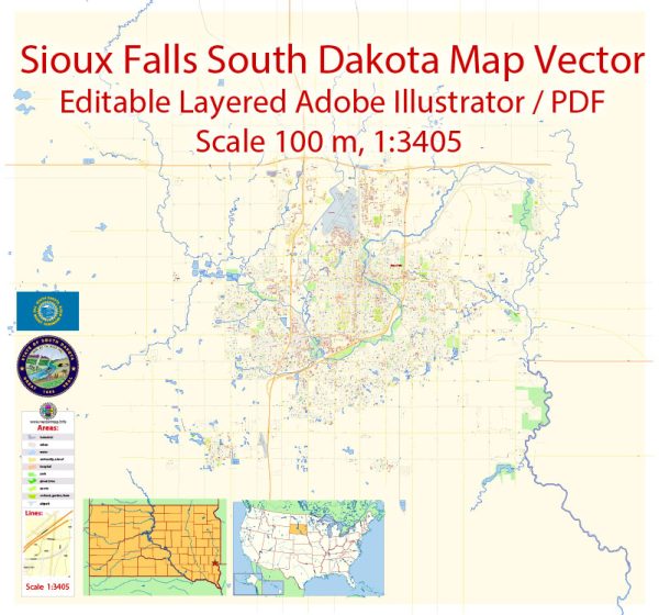
Sioux Falls, South Dakota, is the largest city in the state and is known for its vibrant community and diverse neighborhoods. While I can’t provide a comprehensive list of all the neighborhoods and districts in Sioux Falls, I can give you an overview of some of the notable areas and what you might expect to find in each:
- Downtown Sioux Falls: The heart of the city, Downtown Sioux Falls is a thriving hub of activity. You’ll find a mix of historic and modern buildings, numerous restaurants, bars, and shops. The area is known for its cultural events, including the SculptureWalk, which features a rotating display of public art. The Falls Park, with its picturesque waterfalls, is a major attraction here.
- Historic Districts: Sioux Falls has several historic districts, such as All Saints Historic District and Cathedral Historic District, which are known for their charming, historic homes and tree-lined streets. These neighborhoods have a unique architectural character and a strong sense of community.
- East Side: The East Side of Sioux Falls is a residential area with a mix of housing options, including single-family homes, apartments, and condos. This area is also home to several schools, parks, and shopping centers, making it popular with families.
- West Side: The West Side is known for its newer residential developments, shopping centers, and restaurants. It’s a rapidly growing part of the city and offers a mix of suburban and urban living. The Empire Mall, one of the largest shopping centers in the region, is located on the West Side.
- South Side: The South Side of Sioux Falls includes many family-friendly neighborhoods, as well as some industrial areas. You’ll find parks, schools, and various amenities in this region.
- North Side: This area is characterized by a mix of residential and commercial spaces. It’s also home to attractions like the Great Plains Zoo and Delbridge Museum.
- Whittier: Whittier is a neighborhood with a rich history and a diverse community. It’s known for its cultural diversity, historic homes, and close-knit atmosphere.
- Augustana University Area: This area surrounds Augustana University and offers a mix of student housing, single-family homes, and apartments. It has a youthful vibe and is close to the university campus.
- University of Sioux Falls Area: As the name suggests, this area surrounds the University of Sioux Falls and is home to a mix of student housing, faculty residences, and family homes.
- Southeast Sioux Falls: This region is known for its spacious homes, green spaces, and easy access to shopping centers. It’s a quieter and more suburban part of the city.
Each of these neighborhoods and districts has its own unique character and attractions. Sioux Falls is a city that has seen significant growth and development in recent years, and it offers a variety of living options to its residents, from urban apartments to suburban homes, and from historic charm to modern amenities. The city is also known for its friendly residents and a strong sense of community.


 Author: Kirill Shrayber, Ph.D. FRGS