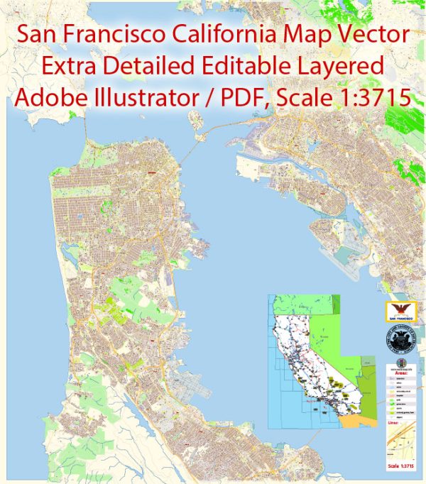
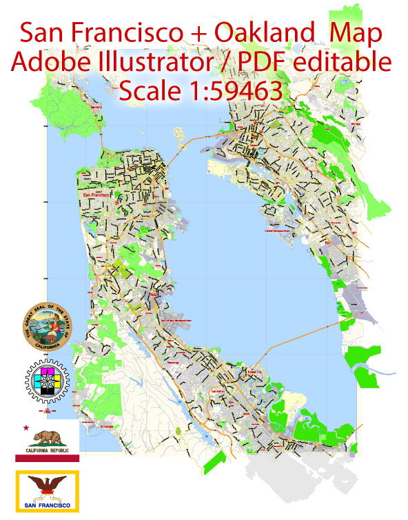
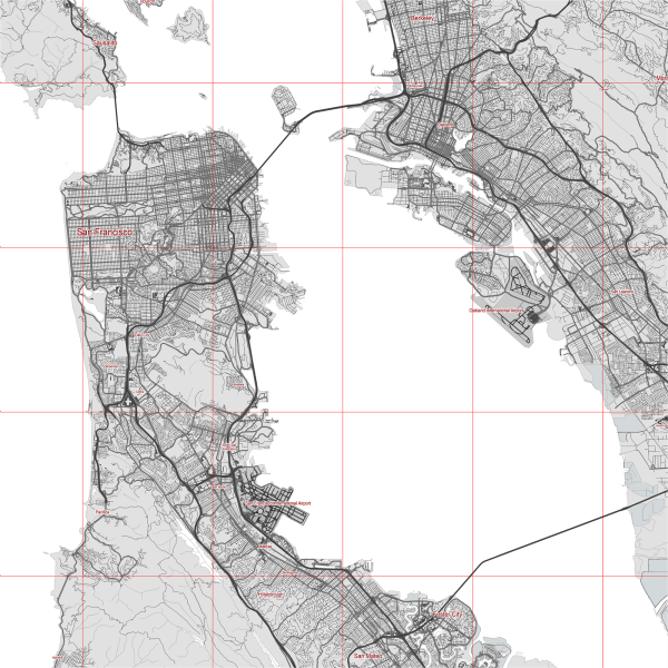
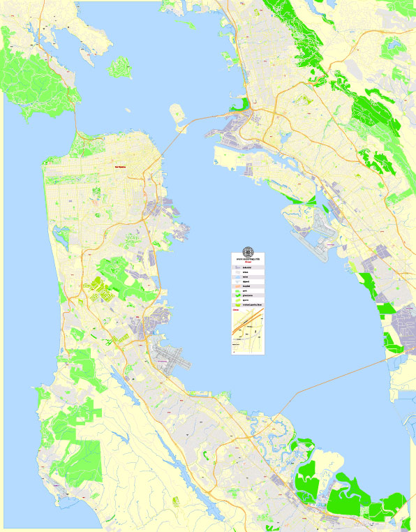
San Francisco and Oakland are two cities located in the San Francisco Bay Area of California, United States. The region has several water resources and bridges that play a crucial role in transportation, commerce, and the environment. Here are some key water resources and bridges in the San Francisco-Oakland area:
Water Resources:
- San Francisco Bay: San Francisco Bay is a large, shallow estuary that encompasses the entire region. It connects to the Pacific Ocean and is a vital water resource for the cities and the surrounding communities. The bay supports a diverse ecosystem and is used for shipping and recreation.
- San Francisco Bay Delta: The Sacramento-San Joaquin Delta is a vast network of rivers, sloughs, and waterways that connect to San Francisco Bay. It serves as a critical source of freshwater for the region and is also a hub for agriculture and transportation.
- Reservoirs: The region has numerous reservoirs, including the Calaveras Reservoir, San Andreas Reservoir, and Crystal Springs Reservoir, which store freshwater for drinking, irrigation, and other uses.
- Aqueducts: The Hetch Hetchy Aqueduct is a major water supply system that transports water from the Hetch Hetchy Reservoir in Yosemite National Park to San Francisco and other parts of the Bay Area.
Bridges:
- San Francisco-Oakland Bay Bridge: This iconic bridge system consists of two major spans, the Bay Bridge’s western span and the Bay Bridge’s eastern span. The eastern span was replaced with a new self-anchored suspension bridge in recent years. The Bay Bridge is a vital transportation link between San Francisco and Oakland.
- Golden Gate Bridge: While not located within the city limits of San Francisco and Oakland, the Golden Gate Bridge is an iconic structure that connects San Francisco to Marin County. It spans the entrance to San Francisco Bay and is famous for its distinctive “International Orange” color.
- San Mateo-Hayward Bridge: This bridge connects San Mateo and Hayward and plays a crucial role in connecting the San Francisco Peninsula to the East Bay.
- Dumbarton Bridge: The Dumbarton Bridge connects Menlo Park in the San Francisco Peninsula to Fremont in the East Bay, providing an important link between the two regions.
These water resources and bridges are essential for the transportation and water supply needs of the San Francisco-Oakland region, as well as being iconic landmarks that contribute to the unique character of the area.


 Author: Kirill Shrayber, Ph.D.