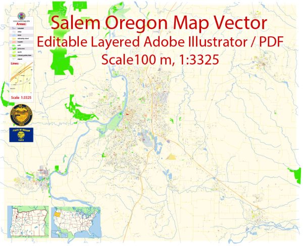
Salem, Oregon is the capital city of the state and is located in Marion County. The city is divided into several districts and neighborhoods, each with its own unique characteristics and amenities. Here’s an overview of some of the prominent districts and neighborhoods in Salem:
- Downtown Salem: The heart of the city, downtown Salem is a mix of government buildings, cultural attractions, and commercial spaces. You’ll find the Oregon State Capitol, Willamette University, the historic Reed Opera House, and a variety of shops and restaurants. The neighborhood has a vibrant atmosphere and hosts various events throughout the year.
- West Salem: Located on the west bank of the Willamette River, West Salem offers a mix of residential neighborhoods and some commercial areas. The district has beautiful river views and offers a quieter, more suburban feel compared to the bustling downtown.
- South Salem: South Salem is a diverse area with a mix of housing options, including suburban neighborhoods, apartments, and condos. It’s home to some great schools, parks, and shopping centers like Lancaster Mall. The Minto-Brown Island Park, one of Salem’s largest parks, is located in this area.
- Northeast Salem: This part of the city is known for its family-friendly neighborhoods, parks, and access to shopping centers. Keizer, a city neighboring Salem, is part of the northeast district and is known for its tight-knit community and access to amenities.
- Southeast Salem: Southeast Salem is a blend of residential neighborhoods and commercial areas. The area includes the Woodburn Premium Outlets and diverse dining options. It’s a popular area for families and those seeking affordable housing options.
- North Salem: North Salem is known for its historic homes and tree-lined streets. The neighborhood has a mix of housing options, including historic properties and newer developments. The Oregon State Fairgrounds are also located in this district.
- West Salem Hills: As the name suggests, this hilly area provides beautiful views of the city and the surrounding landscape. It’s a quieter and more rural part of Salem, with larger properties and homes.
- East Lancaster: Located in the southeastern part of the city, East Lancaster is primarily a commercial and industrial area. It’s known for shopping centers and industrial parks.
- Highland: The Highland neighborhood is located in the northwest part of the city and offers a mix of housing options, including single-family homes and apartments. It’s a diverse and vibrant community.
- Sunset Hills: This upscale neighborhood is known for its luxury homes and well-manicured lawns. It’s a desirable area for those looking for high-end housing options.
Salem is a diverse city with a range of neighborhoods, each with its own unique character and amenities. When considering a move to Salem, it’s a good idea to explore the different districts and neighborhoods to find the one that best suits your lifestyle and preferences.


 Author: Kirill Shrayber, Ph.D. FRGS