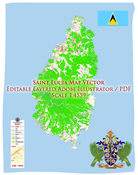
Saint Lucia is a small island nation located in the eastern Caribbean Sea. It’s important to consult more recent sources for the most up-to-date information.
Geography and Demographics:
- Saint Lucia covers an area of approximately 617 square kilometers (238 square miles).
- The capital city is Castries, and the official language is English.
- The population of Saint Lucia is around 180,000 people, with a diverse cultural mix that includes people of African, East Indian, European, and mixed descent.
Economy:
- Saint Lucia’s economy is primarily based on agriculture, tourism, and services.
- The tourism sector is a significant contributor to the country’s GDP, attracting visitors with its beautiful beaches, lush landscapes, and cultural attractions.
- The agricultural sector focuses on banana production, although it has faced challenges due to changes in global trade preferences.
- The country has also been working to diversify its economy, including promoting offshore banking and financial services.
Tourism:
- Saint Lucia is known for its stunning natural beauty, including the iconic Piton Mountains, lush rainforests, and pristine beaches.
- The tourism industry offers a range of activities such as water sports, hiking, and cultural experiences.
- Several luxury resorts and boutique hotels cater to tourists, making it a popular destination for honeymooners and leisure travelers.
Infrastructure:
- The country has made investments in its infrastructure, including roads, ports, and airports to support the tourism industry.
- Hewanorra International Airport, located near Vieux Fort, is the primary international gateway to the island.
Education and Healthcare:
- Saint Lucia has a relatively high literacy rate, and education is provided through a mix of public and private institutions.
- Healthcare services are available through a combination of public and private healthcare providers.
Challenges:
- Saint Lucia, like many small island nations, faces economic vulnerabilities, particularly concerning external factors such as global economic conditions and climate change.
- Climate change and its impacts, including hurricanes and rising sea levels, pose significant challenges to the country’s sustainable development.


 Author: Kirill Shrayber, Ph.D. FRGS