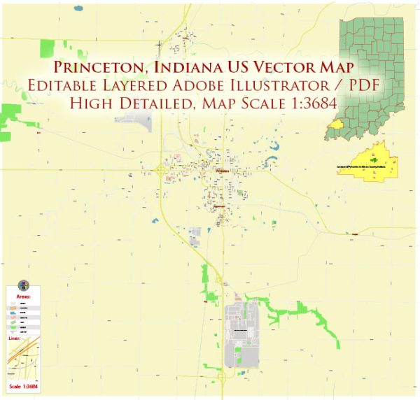
Princeton, Indiana, is a small city located in Gibson County. It is home to several educational institutions, including public schools and colleges. Here are some of the schools and colleges in Princeton:
- Princeton Community High School: This is the main public high school serving Princeton and the surrounding area. It offers a range of academic and extracurricular programs for high school students.
- Princeton Community Middle School: This is the local public middle school, serving students in grades 6 through 8.
- Primary Schools: Princeton has several primary schools that serve students in grades K-5. These schools include North Gibson School Corporation Elementary and South Gibson School Corporation Elementary.
- Ivy Tech Community College: Ivy Tech is a community college with multiple campuses throughout Indiana. The closest campus to Princeton is likely the Evansville Campus, which offers a variety of degree and certificate programs for students looking to further their education.
- Vincennes University Gibson County Center: Vincennes University, located in Vincennes, Indiana, has a Gibson County Center in Princeton. It offers higher education and vocational programs for students in the area.
- Other Educational Institutions: There may be other private or specialized educational institutions in the area, such as preschools, daycares, and trade schools.


 Author: Kirill Shrayber, Ph.D. FRGS