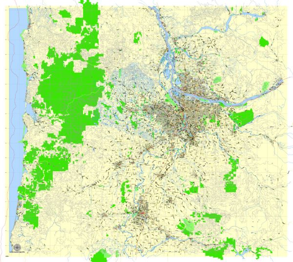
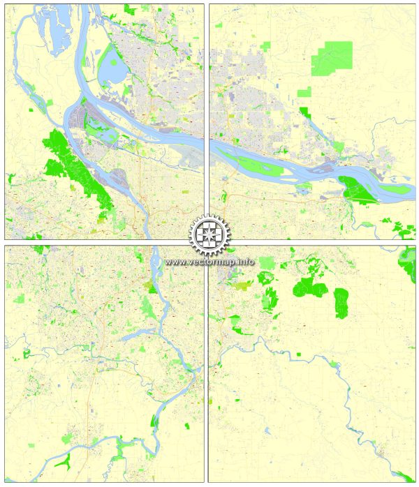
Portland, Vancouver, Oregon City, and Salem are all located in the state of Oregon, in the United States. These cities are situated in the Pacific Northwest region, and they are served by a variety of water resources and bridges. Here’s a general overview of water resources and some key bridges in these areas:
- Columbia River: The Columbia River flows through the Portland-Vancouver metropolitan area, serving as a major water resource. It is one of the largest rivers in North America and an essential transportation route for the region.
- Willamette River: The Willamette River runs through Portland and is a significant water resource in the area. It’s an important part of the city’s landscape and provides recreational opportunities.
- Columbia Slough: This is a network of waterways in the Portland area, including the Columbia Slough itself and several smaller sloughs. These waterways play a role in managing stormwater and provide habitat for wildlife.
- Oregon City Falls: Oregon City is known for its historic falls on the Willamette River. These falls played a critical role in the city’s industrial development and are now a scenic attraction.
Regarding bridges:
- St. Johns Bridge: Located in Portland, the St. Johns Bridge is a distinctive suspension bridge that spans the Willamette River and connects the St. Johns neighborhood to the rest of the city.
- Hawthorne Bridge: Another important bridge in Portland, the Hawthorne Bridge is a truss bridge that carries both vehicle and pedestrian traffic across the Willamette River.
- Fremont Bridge: The Fremont Bridge is a vital part of Portland’s transportation infrastructure, connecting the northwest and northeast parts of the city.
- Marquam Bridge: This double-decked cantilever bridge carries Interstate 5 across the Willamette River in Portland, facilitating regional transportation.
- Vancouver-Portland Bridges: Various bridges connect Portland, Oregon, and Vancouver, Washington, across the Columbia River, including the Interstate Bridge (I-5) and the Glenn Jackson Bridge (I-205).
- Oregon City Bridge: The Oregon City Bridge crosses the Willamette River and connects Oregon City with West Linn. It’s a bascule bridge and a notable local landmark.
- Salem’s Marion Street Bridge: In Salem, the Marion Street Bridge crosses the Willamette River and connects the downtown area with West Salem.
These are just a few examples of the water resources and bridges in and around these Oregon cities. Each of them plays a crucial role in the transportation, commerce, and recreational activities of the region. The Columbia River and Willamette River, in particular, are significant natural resources for the area.


 Author: Kirill Shrayber, Ph.D.