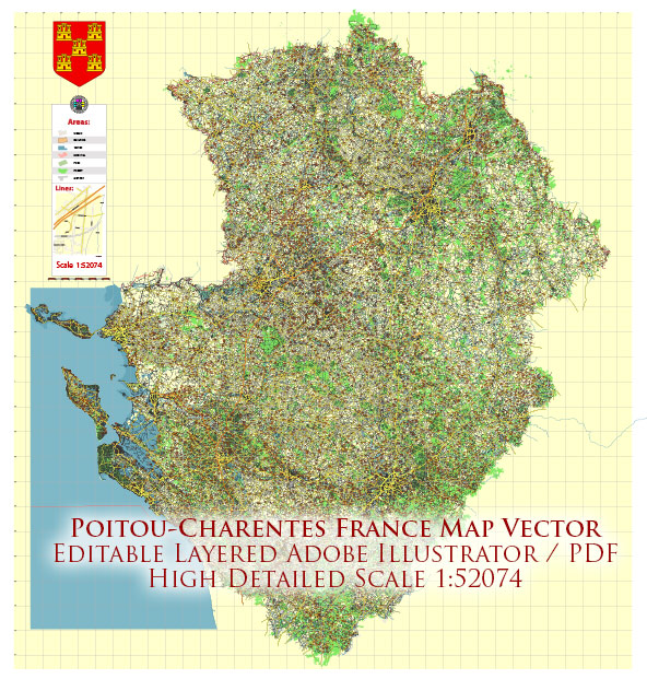
The former Poitou-Charentes region in France, which has been merged into the larger administrative region of Nouvelle-Aquitaine, has a variety of water resources and bridges due to its proximity to the Atlantic Ocean and numerous rivers. Here are some key points about water resources and bridges in this region:
Water Resources:
- Atlantic Coast: Poitou-Charentes had a long Atlantic coastline, offering access to the Atlantic Ocean. This coastline provided opportunities for activities like fishing, tourism, and trade.
- Rivers: Several rivers flow through the region, including the Charente River and the Vienne River. These rivers not only provide water resources but also shape the landscape and have influenced the development of cities and towns along their banks.
- Marais Poitevin: Also known as the “Green Venice,” this is a unique area in the region characterized by a network of canals and wetlands. It is an important wetland ecosystem and a tourist attraction. Canals and waterways are crossed by numerous small bridges.
Bridges:
- Pont Transbordeur: La Rochelle, a city in Poitou-Charentes, has a historic transporter bridge called the Pont Transbordeur. This unique bridge allows for the transportation of people and vehicles in a gondola suspended from a high gantry. It’s an iconic structure in the city.
- Viaducts: Various viaducts and bridges can be found throughout the region, especially in areas with a complex network of rivers and canals.
- Medieval Bridges: Many historic towns in the region have charming medieval bridges that cross over rivers and canals, adding to the picturesque atmosphere.
- Modern Infrastructure: In addition to historical bridges, the region also has modern bridges that facilitate transportation and connect various parts of the region.
- Drawbridges: In the Marais Poitevin, you can find traditional drawbridges that are used to cross the canals in this unique marshland area.
- Coastal Bridges: Given the region’s coastal location, there are bridges and causeways connecting the mainland to offshore islands, which are popular tourist destinations.
Please note that while the Poitou-Charentes region itself no longer exists as an administrative entity, the geographical features and infrastructure related to water resources and bridges are still present in the Nouvelle-Aquitaine region, which absorbed Poitou-Charentes during a reorganization of administrative divisions in France.


 Author: Kirill Shrayber, Ph.D. FRGS