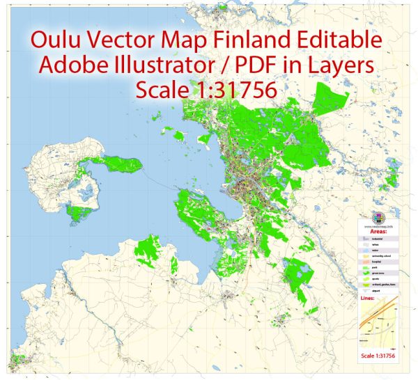
Oulu, Finland, is the largest city in Northern Finland and is known for its rich culture, high-quality education, and vibrant technology sector. The city is divided into several districts and neighborhoods, each with its own unique characteristics. Here are some descriptions of Oulu’s main districts and neighborhoods:
- City Center (Keskusta): Oulu’s city center is the heart of the city and is home to a variety of shops, restaurants, and cultural attractions. It’s a bustling area with a mix of historic and modern architecture. Rotuaari, a pedestrian street, is a popular spot for shopping and entertainment.
- Toppila: Located north of the city center, Toppila is known for its beautiful coastal areas and parks. Toppila has a mix of residential and industrial areas, and it’s close to the Technology Village, where several high-tech companies are located.
- Linnanmaa: This district is home to the University of Oulu and a significant part of the city’s student population. It has a youthful and academic atmosphere with many student housing complexes, educational institutions, and research facilities.
- Kaijonharju: Another area with a significant student population due to its proximity to the university, Kaijonharju has a mix of residential and commercial areas. The Linnanmaa campus and the Technopolis Oulu business park are nearby.
- Karjasilta: Karjasilta is a diverse district with both residential and industrial areas. It’s located in the southern part of Oulu and has good transportation connections to the city center.
- Tuira: Tuira is a coastal district known for its maritime heritage. It has a charming harbor and is a popular area for recreational activities along the seafront.
- Hietasaari: This district is an island connected to the mainland by bridges and is known for its beautiful beaches, parks, and recreational opportunities. It offers a more relaxed and nature-oriented lifestyle.
- Rusko: Located to the west of the city center, Rusko is a primarily residential district with a mix of housing options, including single-family homes and apartment buildings.
- Kastelli: Kastelli is an up-and-coming residential area with new housing developments and modern amenities. It’s known for its family-friendly environment and is located in the southwestern part of the city.
- Myllyoja: Myllyoja is a residential district with a mix of housing types. It’s known for its green spaces and parks, making it a peaceful place to live.
- Kaakkuri: This district is located to the northeast of the city center and is known for its shopping centers and recreational areas. It’s a relatively new and growing residential area.
- Haukipudas: Haukipudas is a separate municipality that is now part of the Oulu city region. It’s known for its natural beauty, with forests and waterways. It offers a more rural and peaceful lifestyle, even though it’s close to Oulu.
These are some of the main districts and neighborhoods in Oulu, each offering a unique living experience and access to the city’s amenities. Oulu is a diverse and dynamic city with a strong sense of community and a wide range of opportunities for residents and visitors.


 Author: Kirill Shrayber, Ph.D. FRGS