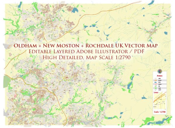
Oldham, New Moston, and Rochdale are towns in Greater Manchester, UK. They are not typically associated with extensive water resources or notable bridges in the same way that some other areas might be known for these features. However, there are some water resources and bridges in and around these areas:
- Rivers and Watercourses:
- River Roch: The River Roch runs through Rochdale. It is a small river that flows for about 10 miles before joining the River Irwell in Salford.
- Reservoirs:
- Dovestone Reservoir: Dovestone Reservoir is located to the east of Oldham. It is a popular spot for outdoor activities and provides a source of water for the region.
- Canals:
- Rochdale Canal: The Rochdale Canal runs through both Oldham and Rochdale. It is a historic canal that was originally used for transporting goods and materials but is now a recreational waterway.
- Bridges:
- There are numerous road and footbridges that span the various watercourses and canals in these areas, but there are no particularly famous or iconic bridges in this region.
While these areas may not be known for having grand or historic bridges and extensive water resources, they do have local water sources and infrastructure to meet the needs of the communities. The water resources and bridges in these towns primarily serve practical purposes for transportation and water supply.


 Author: Kirill Shrayber, Ph.D.