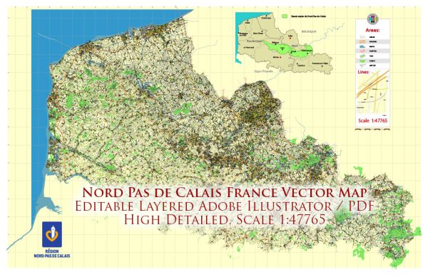
Nord-Pas-de-Calais was an administrative region in northern France. In 2016, the region of Nord-Pas-de-Calais was merged with the region of Picardy to form a new administrative region called Hauts-de-France.
Here is a description of the Nord-Pas-de-Calais region as it existed before the merger into Hauts-de-France:
- Geography: Nord-Pas-de-Calais was located in the northernmost part of France and shared borders with Belgium to the north and the English Channel to the west. It was known for its proximity to the United Kingdom, as well as its flat, low-lying landscape.
- Departments: Nord-Pas-de-Calais was divided into two departments:
- Nord: The department of Nord is known for its largest city, Lille, which is a major cultural and economic hub in the region. Other significant cities in the department include Dunkirk, Roubaix, and Tourcoing.
- Pas-de-Calais: The department of Pas-de-Calais is known for its beautiful coastline along the English Channel, with cities like Calais, Boulogne-sur-Mer, and Arras.
- Economy: The region’s economy was traditionally centered around heavy industries, such as coal mining, steel production, and textiles. However, these industries have declined, and the region transitioned towards a more diversified economy, with a focus on services, manufacturing, and logistics.
- Culture: Nord-Pas-de-Calais had a rich cultural heritage, with a strong influence from neighboring Belgium. The region was known for its cuisine, including dishes like moules-frites (mussels and fries) and beer. It also had a vibrant arts and music scene.
- Transportation: The region was well-connected with the rest of France and Europe through its transportation infrastructure, including major highways, railways, and ports. The Channel Tunnel, which connects France to the United Kingdom, also had its French terminal in the region.
- Tourism: The region attracted tourists with its historic sites, including World War I battlefields, medieval towns, and the scenic coastal areas along the English Channel.


 Author: Kirill Shrayber, Ph.D. FRGS