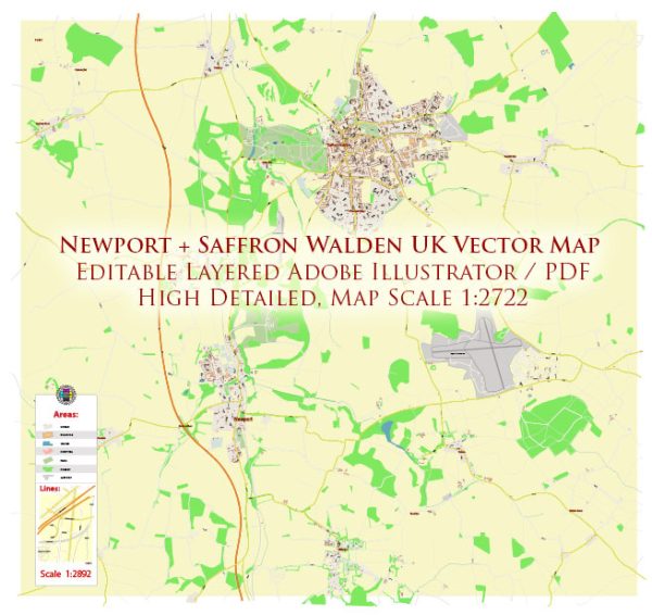
General information about water resources and bridges in the Newport and Saffron Walden areas of the UK.
Newport, Wales:
- Water Resources: Newport, being a city in Wales, has access to water resources primarily from rivers and reservoirs. The River Usk flows through the city, providing a natural water source. Additionally, the city relies on reservoirs in the surrounding area for its water supply.
- Bridges: Newport is known for its numerous bridges, including the Newport Transporter Bridge, a historic landmark that allows pedestrians and vehicles to cross the River Usk. There are several other bridges and roadways that connect different parts of the city, facilitating transportation.
Saffron Walden, Essex:
- Water Resources: Saffron Walden is located in the county of Essex, and its water supply primarily comes from groundwater sources and local reservoirs. The town has a network of wells and boreholes that draw water from underground aquifers. The area is not particularly close to major rivers or lakes.
- Bridges: Saffron Walden is a historic market town with a number of older and picturesque bridges that cross small watercourses and streams. These bridges are often seen as part of the town’s charm and historical character.
It’s important to note that water resources and infrastructure can change over time, and new developments or challenges can impact these aspects. For the most up-to-date and detailed information, it is recommended to consult local authorities or relevant water supply agencies in these areas.


 Author: Kirill Shrayber, Ph.D. FRGS