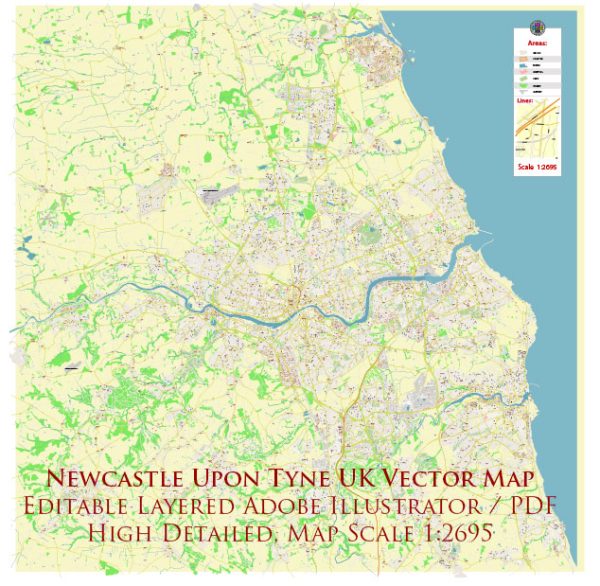
Newcastle upon Tyne, often referred to as Newcastle, is a city in the northeast of England, United Kingdom. It is situated on the north bank of the River Tyne and is known for its iconic bridges and the vital water resources that have historically played a significant role in the city’s development. Here’s some information about the water resources and bridges in Newcastle upon Tyne:
Water Resources:
- River Tyne: The River Tyne is the dominant waterway in Newcastle. It flows through the heart of the city, dividing it into two parts: Newcastle on the north bank and Gateshead on the south bank. The river has been crucial for transportation, trade, and industrial development.
- Reservoirs: Newcastle upon Tyne’s water supply comes from various reservoirs in the surrounding areas. These reservoirs collect rainwater and are vital for providing clean drinking water to the city’s residents.
- Aquifer: The city also draws water from underground aquifers to supplement its water resources. This groundwater source is essential for maintaining a consistent water supply.
Bridges:
- Tyne Bridge: The Tyne Bridge is one of the most iconic landmarks in Newcastle upon Tyne. It was completed in 1928 and connects Newcastle and Gateshead. The bridge has a distinctive design with arches, and it is often associated with the city.
- Millennium Bridge: This modern pedestrian and cyclist bridge is known for its unique tilting mechanism, which allows it to pivot to allow ships to pass underneath. It opened in 2001 and has become a symbol of the city’s regeneration and modernity.
- High Level Bridge: This historic bridge, opened in 1849, carries both road and rail traffic and connects Newcastle and Gateshead. It’s a notable example of engineering from the Victorian era.
- Swing Bridge: Opened in 1876, the Swing Bridge is another significant river crossing in Newcastle. It can rotate horizontally to allow boats to pass through.
- Redheugh Bridge: The Redheugh Bridge is a vital road bridge that spans the River Tyne. It connects the western part of Newcastle with Gateshead and plays a critical role in the city’s transportation network.
These bridges not only serve as transportation links but also contribute to the city’s unique skyline and character. They have played an essential role in the development and history of Newcastle upon Tyne, and many of them are popular tourist attractions.


 Author: Kirill Shrayber, Ph.D.