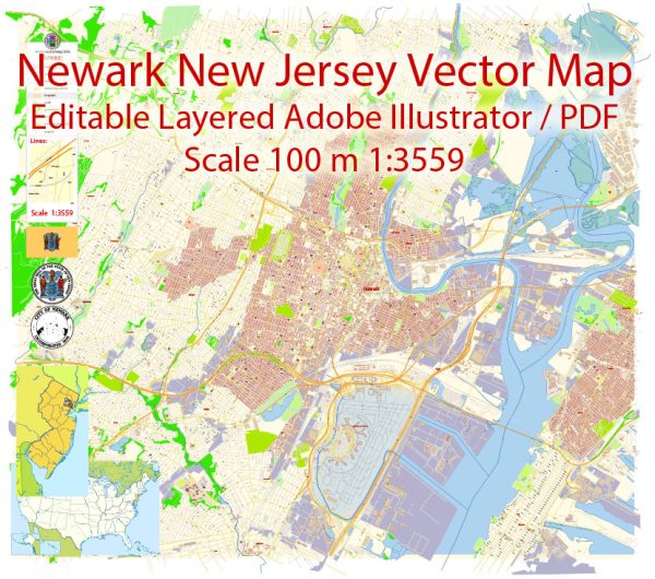
Newark, New Jersey, like many urban areas, has a variety of water resources and bridges that play crucial roles in its infrastructure and transportation network. Here’s an overview of some of these resources and bridges:
- Water Resources:
- Passaic River: The Passaic River flows through Newark and is a significant water resource for the city and the surrounding region. It provides water for various industrial, commercial, and residential uses.
- Newark Reservoir: The city has a reservoir system that includes the Newark Reservoir, which serves as a source of drinking water for the local population.
- Water Treatment Plants: Newark has water treatment plants that process and purify water from various sources to make it safe for drinking and other uses. These plants ensure the provision of clean and safe water to the residents.
- Combined Sewer System: Like many older cities, Newark has a combined sewer system, which means that stormwater and wastewater are carried in the same pipes. During heavy rainfall, this system can sometimes lead to combined sewer overflows into the Passaic River, which is an ongoing environmental concern.
- Bridges:
- Pulaski Skyway: The Pulaski Skyway is a major bridge connecting Newark to Jersey City and other parts of northern New Jersey. It carries U.S. Route 1/9 and is a crucial transportation link in the region.
- Vincent R. Casciano Memorial Bridge: This bridge spans the Passaic River and connects Newark with Harrison. It is part of the Route 280 highway and serves as a key transportation route.
- Jackson Street Bridge: The Jackson Street Bridge is an important local bridge that spans the Passaic River, providing connectivity within the city and to nearby areas.
- McCarter Highway Bridge: This bridge carries McCarter Highway (Route 21) over the Passaic River and is a significant transportation route within Newark.
- Newark Bay Bridge: The Newark Bay Bridge, also known as the Vincent R. Casciano Memorial Bridge (previously mentioned), extends over Newark Bay, connecting Newark and Bayonne.
These bridges are essential for commuting, transportation of goods, and connectivity within the city and with other parts of New Jersey. Proper maintenance and upkeep of these bridges are critical to ensure the safety and efficiency of transportation in the Newark area.
Please note that the status and conditions of these water resources and bridges may change over time, so it’s essential to refer to local authorities or transportation agencies for the most up-to-date information.


 Author: Kirill Shrayber, Ph.D.