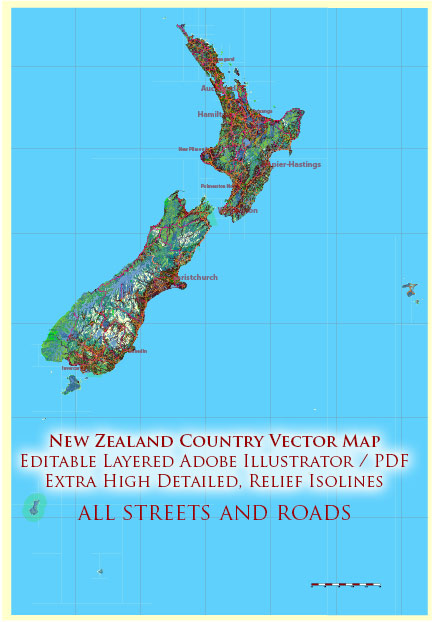
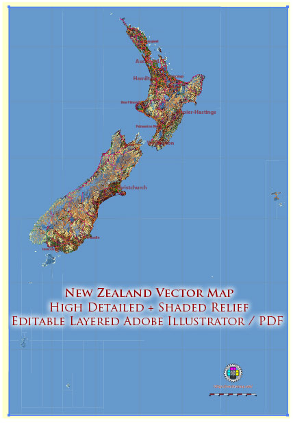
New Zealand, known for its stunning landscapes, is a country with abundant water resources and a network of bridges that help facilitate transportation across its various islands. Here’s an overview of New Zealand’s water resources and its bridges:
Water Resources:
- Rivers and Streams: New Zealand has numerous rivers and streams, with the most significant being the Waikato River, Clutha River, and the Waitaki River. These water bodies are not only vital for transportation but also support hydroelectric power generation.
- Lakes: The country is dotted with many lakes, with Lake Taupo being the largest. Lakes provide freshwater resources and recreational opportunities, including fishing and boating.
- Groundwater: New Zealand relies on groundwater for drinking water and agriculture. It is found in aquifers beneath the surface.
- Rainfall: New Zealand receives a substantial amount of rainfall, especially on the West Coast of the South Island. This rainfall is crucial for agriculture and maintaining water levels in rivers and lakes.
- Glaciers: The Southern Alps in the South Island have glaciers that feed into many rivers and contribute to New Zealand’s water resources.
Bridges: New Zealand has an extensive network of bridges to facilitate transportation, particularly in regions where water bodies are common. Some notable bridges in New Zealand include:
- Auckland Harbour Bridge: Located in New Zealand’s largest city, Auckland, this bridge connects the North Shore with the rest of Auckland. It’s an iconic structure on the city’s skyline.
- Victoria Bridge, Hamilton: This bridge crosses the Waikato River and is a critical transportation link in the city of Hamilton.
- Arthur’s Pass Bridge: Located in the Southern Alps, this bridge is a part of the famous Arthur’s Pass Highway, providing a vital east-west connection across the South Island.
- Arahura Bridge: This bridge spans the Arahura River on the West Coast of the South Island, connecting important mining and forestry regions.
- Bridge to Nowhere: Located in the Whanganui National Park, this bridge is a historic structure that is no longer connected to any road, making it a popular tourist attraction.
- Rakaia Gorge Bridge: This bridge crosses the Rakaia River and is part of State Highway 77, connecting Canterbury and the West Coast of the South Island.
These bridges play a crucial role in New Zealand’s transportation infrastructure, ensuring that people and goods can move efficiently across the country’s varied and often challenging landscapes.
The management and sustainability of water resources, as well as the maintenance and construction of bridges, are essential aspects of New Zealand’s infrastructure and environmental policies. The country places a strong emphasis on environmental protection and maintaining its natural beauty while also ensuring its infrastructure meets the needs of its residents and visitors.


 Author: Kirill Shrayber, Ph.D. FRGS