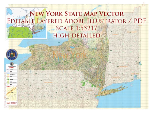
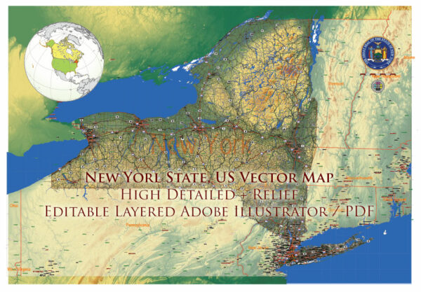
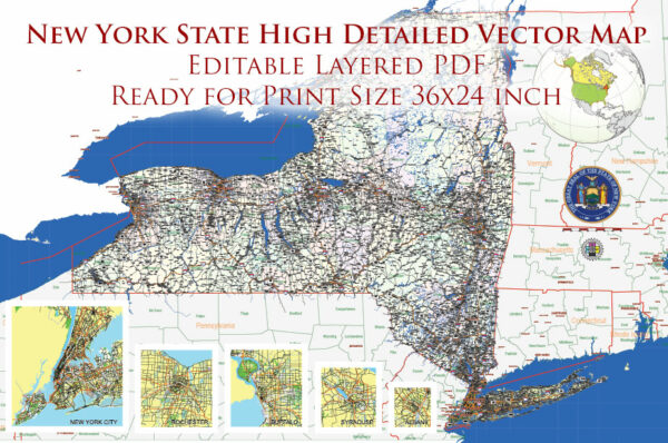
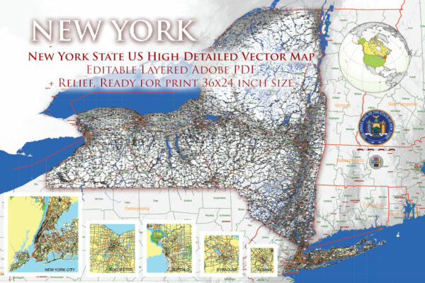
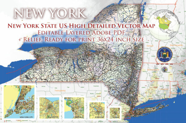
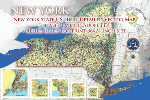
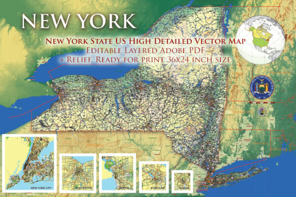
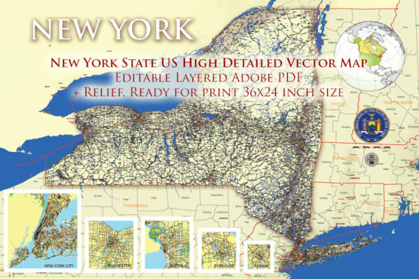
New York State has an extensive network of principal roads, including interstate highways, U.S. routes, and state routes. Some of the major principal roads in New York State include:
Interstate Highways:
- I-87 – Adirondack Northway (North-South route through eastern New York, from New York City to the Canadian border)
- I-90 – New York State Thruway (East-West route across the state, connecting Buffalo and Albany, continuing to Massachusetts)
- I-95 – New England Thruway (Runs along the eastern border of New York, from New York City to the Connecticut state line)
U.S. Routes:
- U.S. Route 1 – Runs parallel to I-95 along the eastern border of New York.
- U.S. Route 9 – North-South route along the Hudson River from New York City to Albany.
- U.S. Route 20 – East-West route that crosses the state from the Pennsylvania border to the Massachusetts border.
- U.S. Route 219 – North-South route in western New York, running from the Pennsylvania border to the Buffalo area.
State Routes: New York State also has an extensive system of state routes. Some of the important ones include:
- NY-5 – Runs parallel to the New York Thruway (I-90) in the western part of the state.
- NY-17 – Also known as the Southern Tier Expressway, it runs across the southern part of New York.
- NY-27 – Also known as the Montauk Highway, it runs along Long Island’s south shore.
- NY-25A – Scenic route along the north shore of Long Island.
- NY-9A – Runs along the Hudson River from New York City to Albany.
- NY-22 – North-South route in eastern New York.
- NY-32 – Runs from New York City to the Canadian border in the northeast.
These are just a few of the principal roads in New York State. The state has a well-developed road network that connects cities, towns, and regions across the state.

 Author: Kirill Shrayber, Ph.D. FRGS